
Residential | Commerical | Industrial

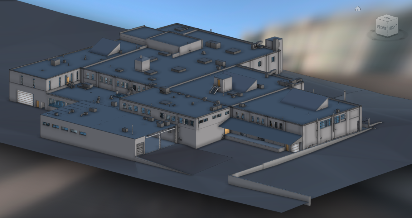
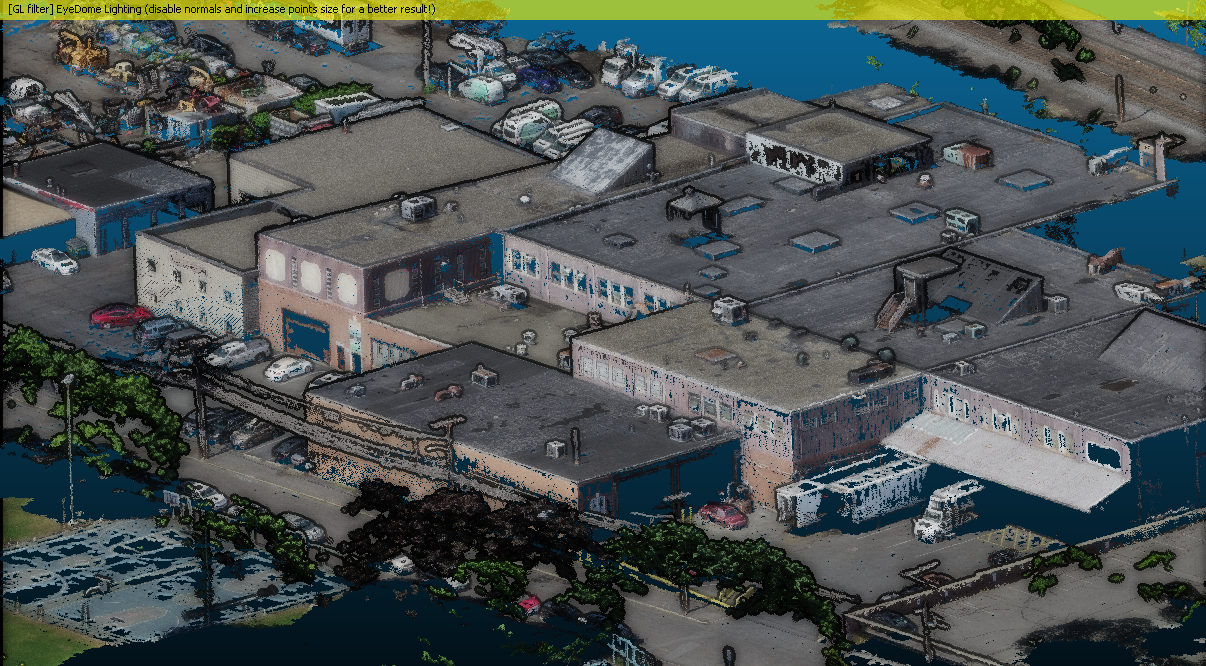

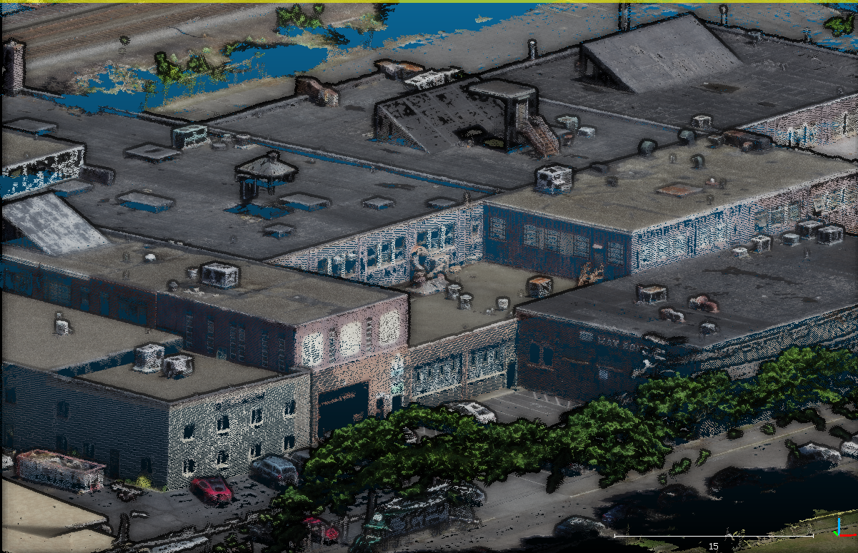
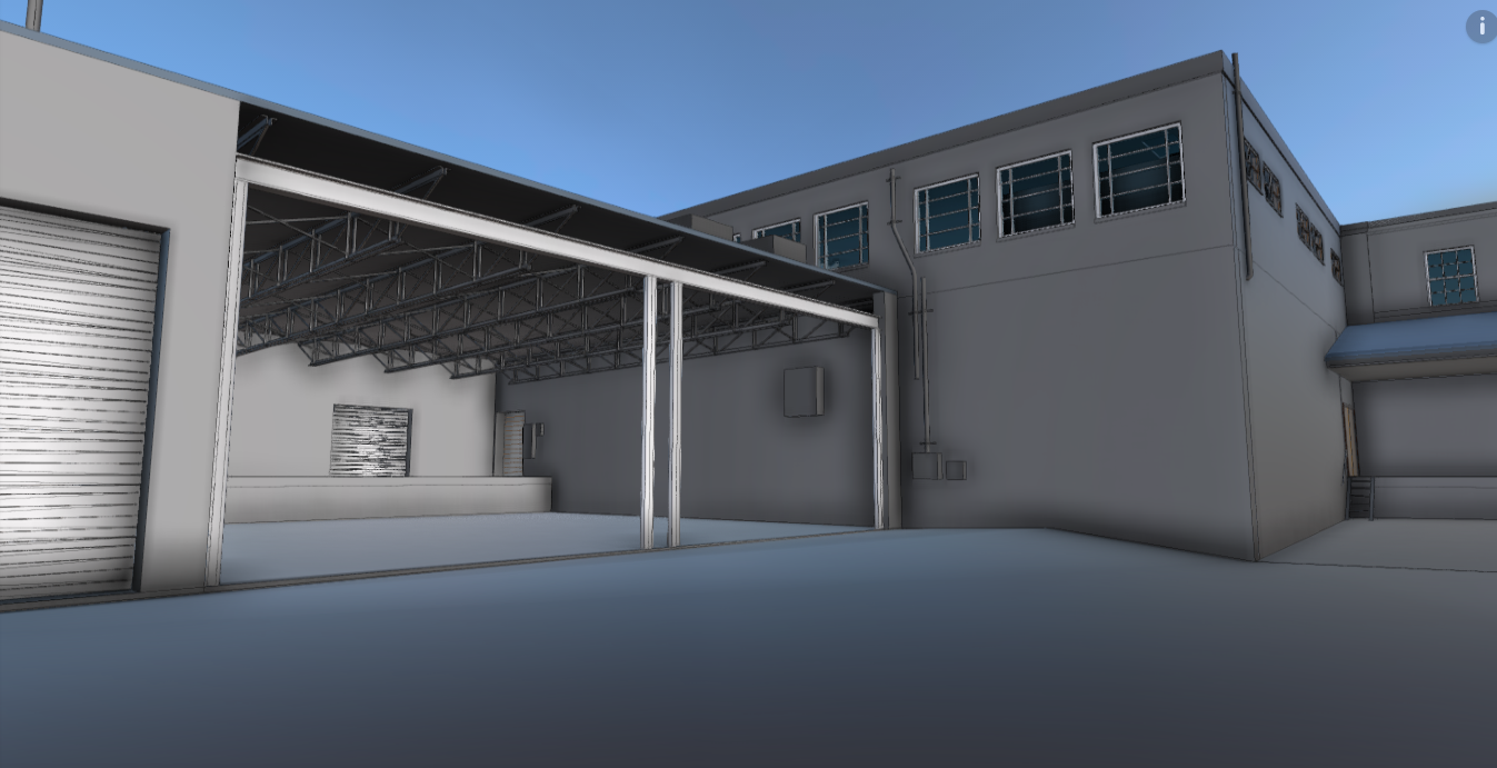

LOCATION: Lynn MA
SIZE: 140,000 GSF (approximate)
PROJECT: Mixed Use / Industrial
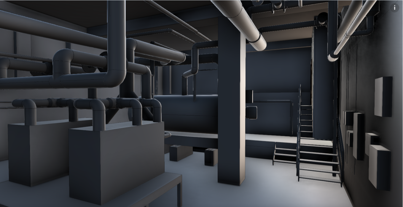
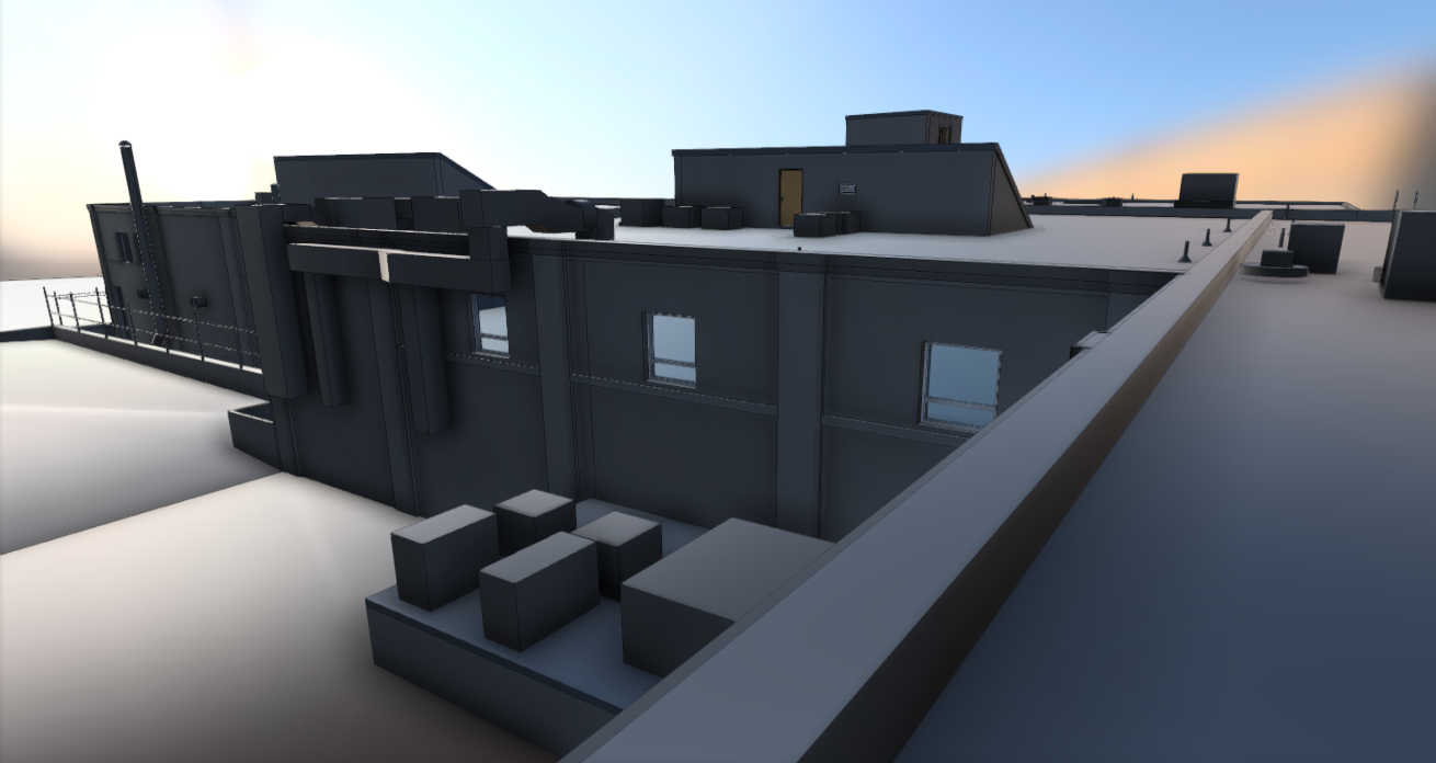
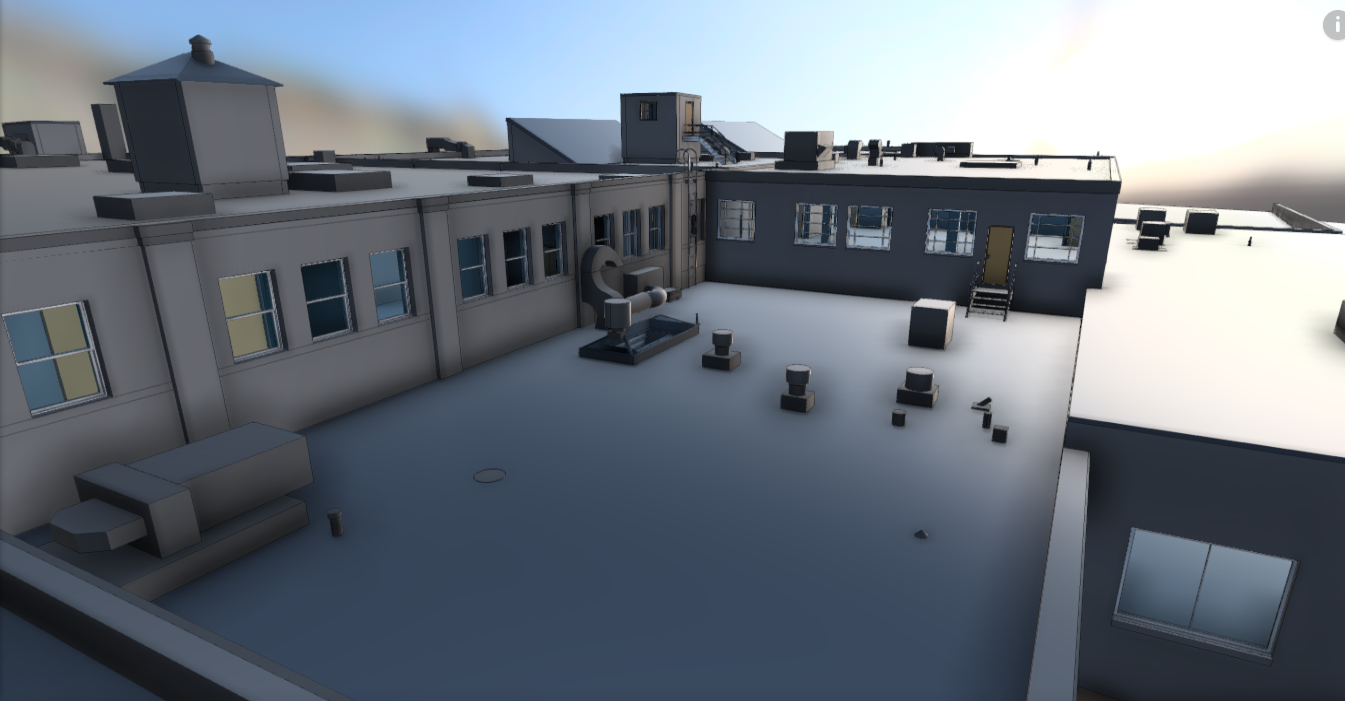
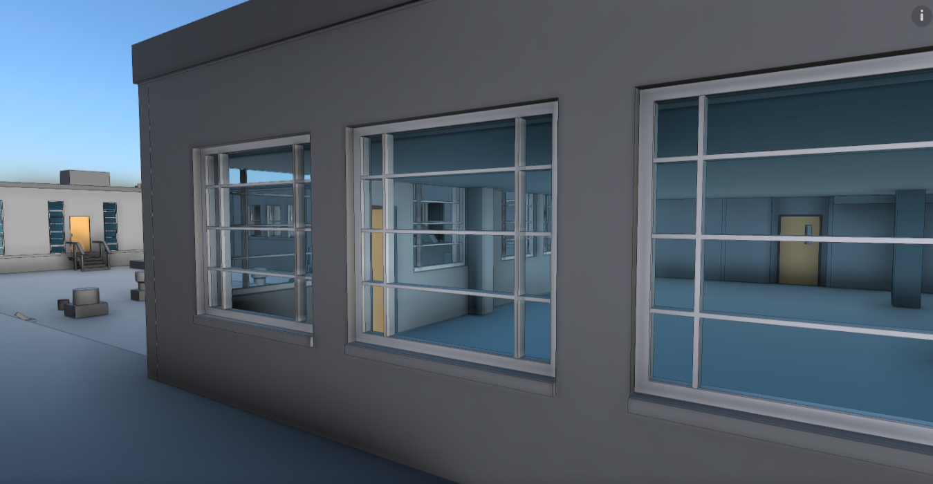
SCOPE: 3D Capture & Document Existing Building in Revit
PROCESS: Schedule and coordinate survey work. .Create multiple SLAM clouds of entire property. Register clouds to each other to create unified multi source cloud of entire building. Create control measurements across property. Plan and Execute drone grid flight and convert data into 3D LAS file. Convert all data to Recap .Utilize data to model entire building Revit
TECHNOLOGY: SLAM, Tripod Mounted and Handheld Laser Range Finders. DJII Phantom Drone, ReCap, Revit, GeoSLAM, Cloud Compare. Pix4D