• Projects
  • Services
  • Software
  • About US
  • Blog
  • Contact
Pointknown

Residential | Commerical | Industrial

  • Projects
  • Services
  • Software
  • About US
  • Blog
  • Contact

The Plains Virginia

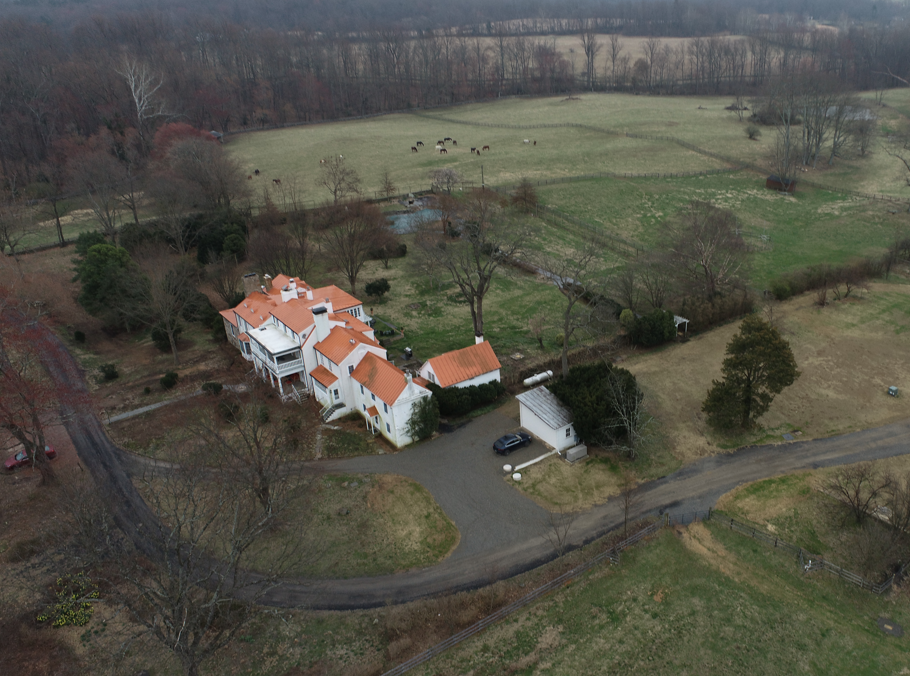
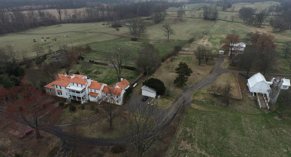
LOCATION: The Plains, Virginia

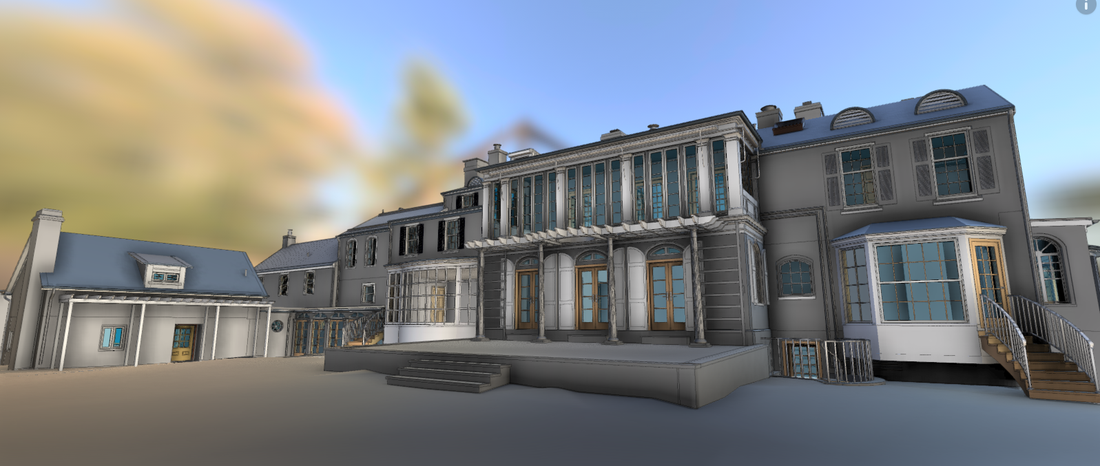
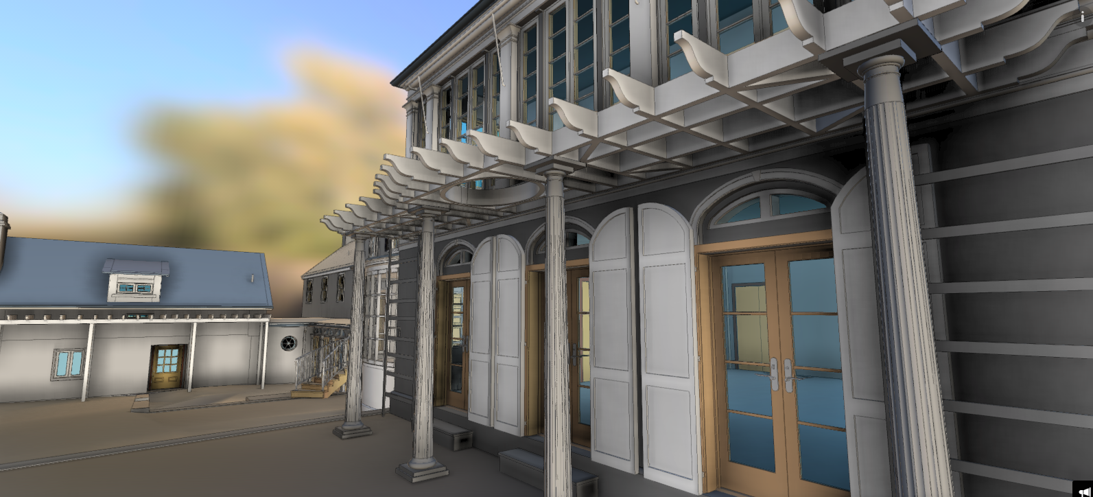
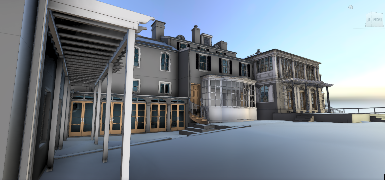
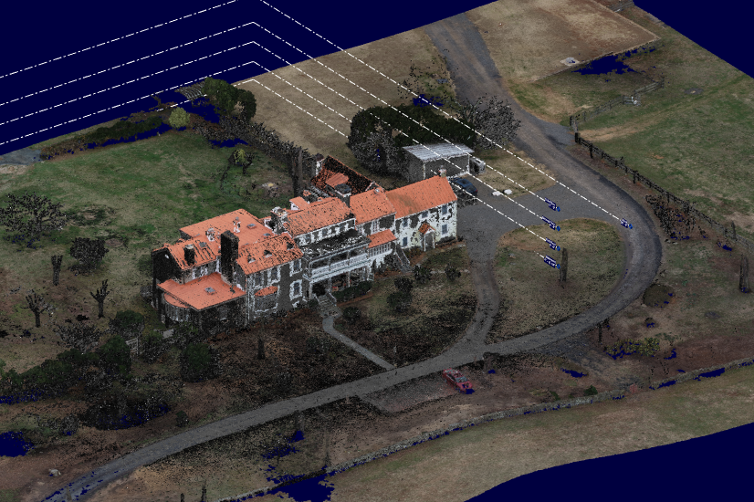
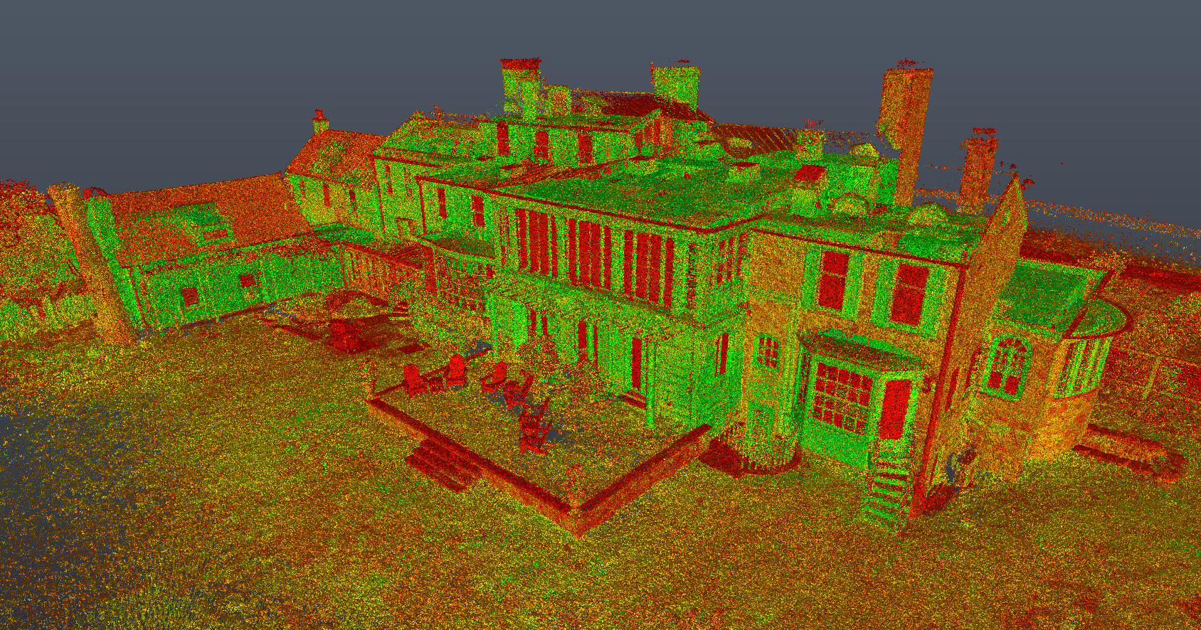
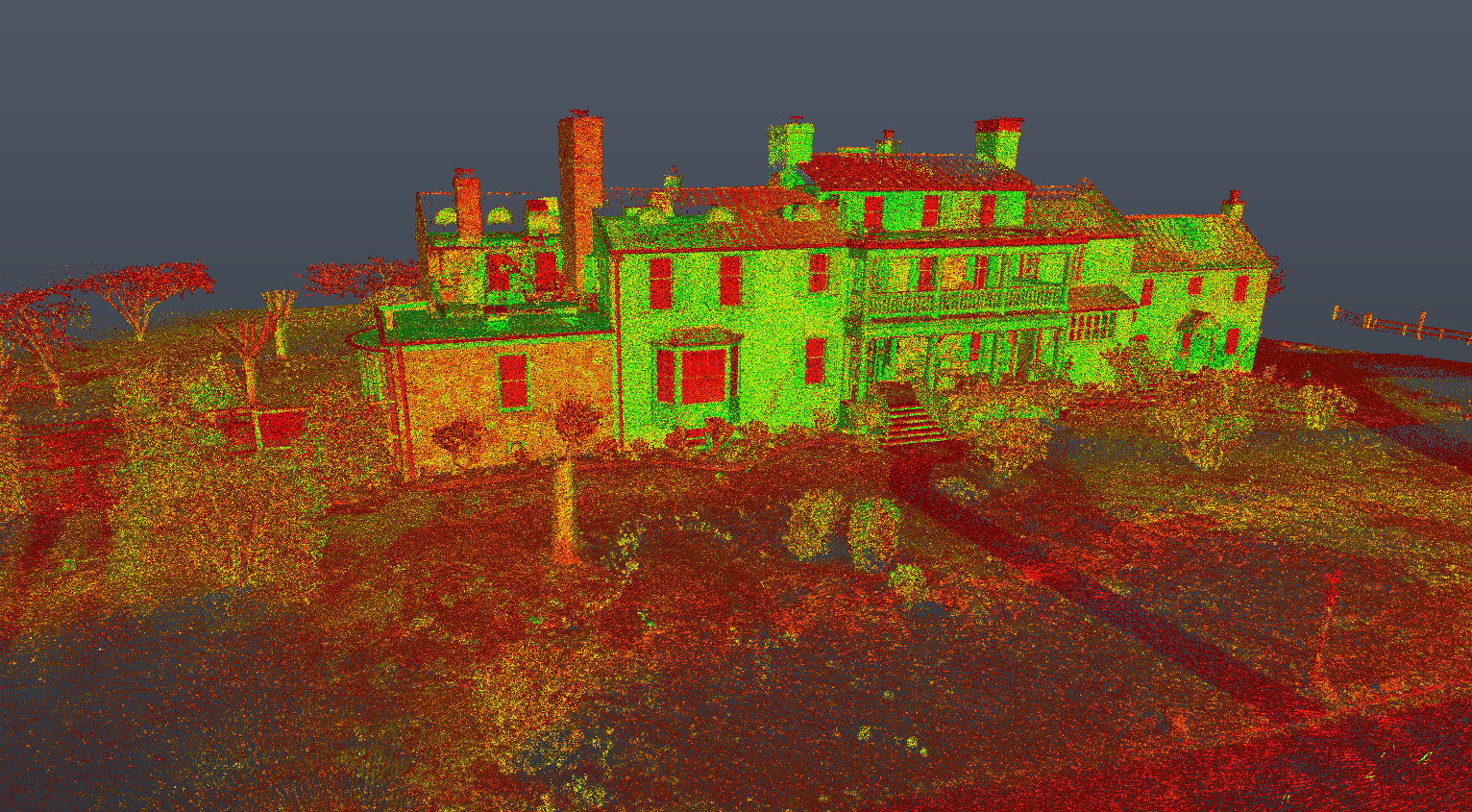
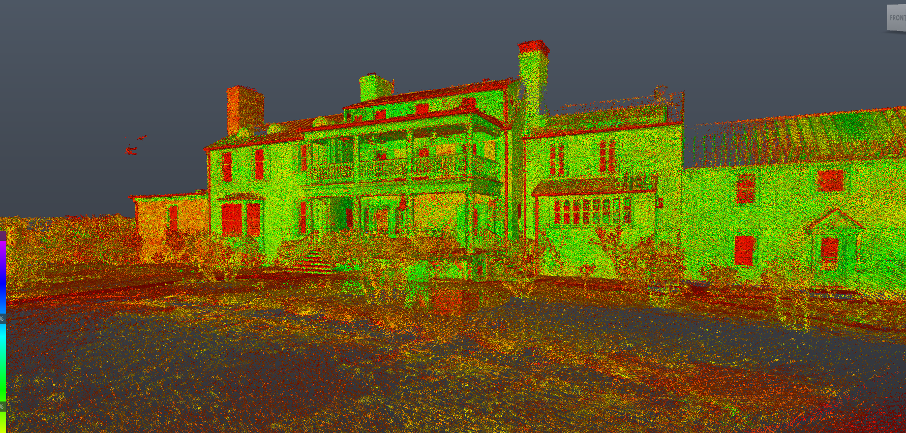
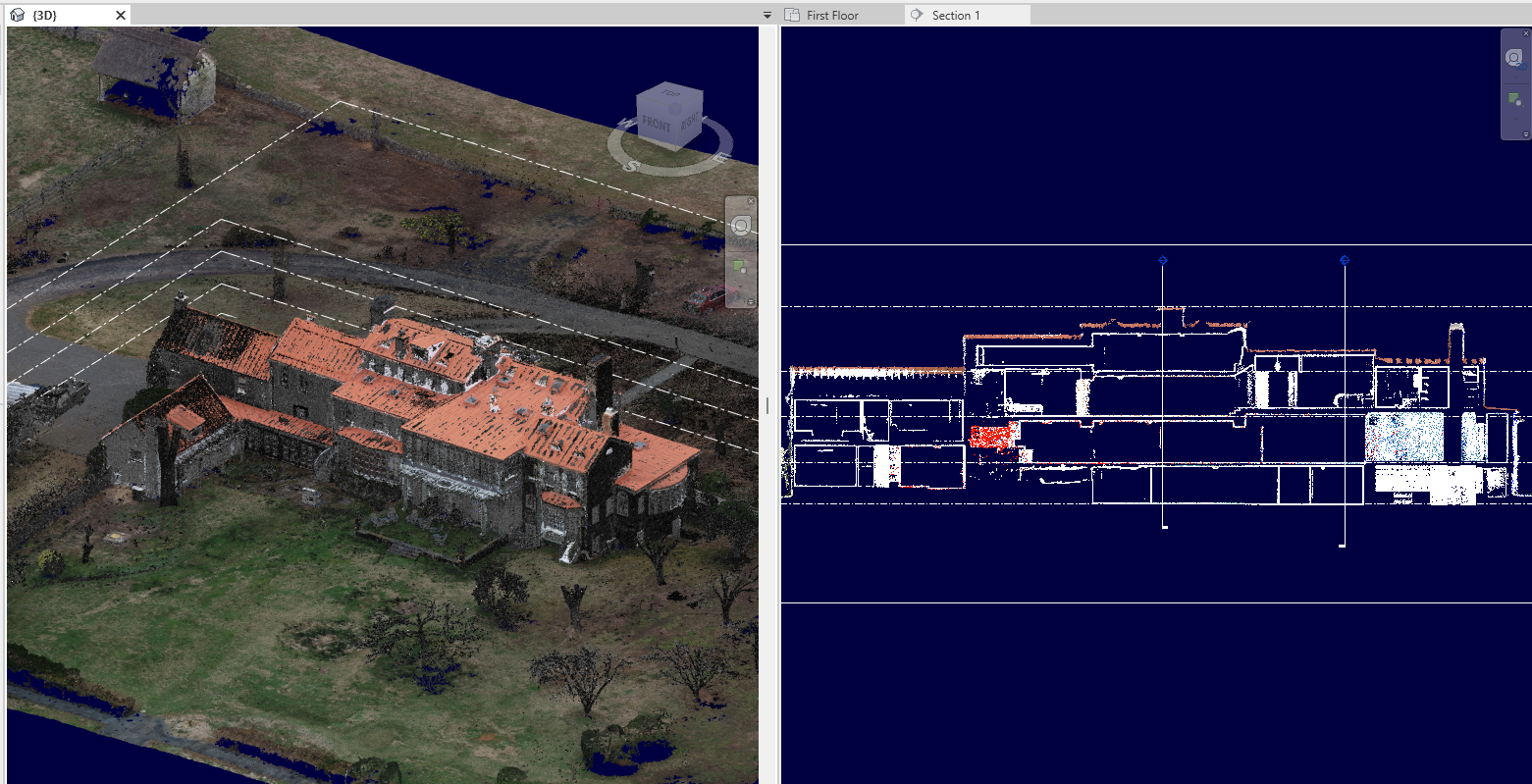
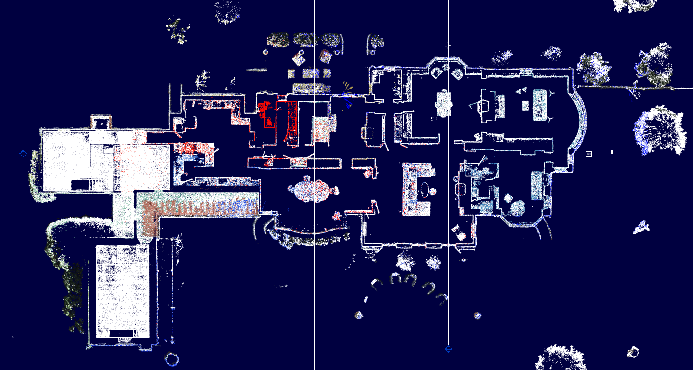
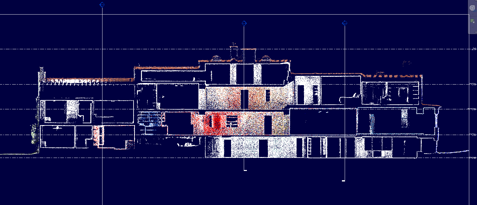
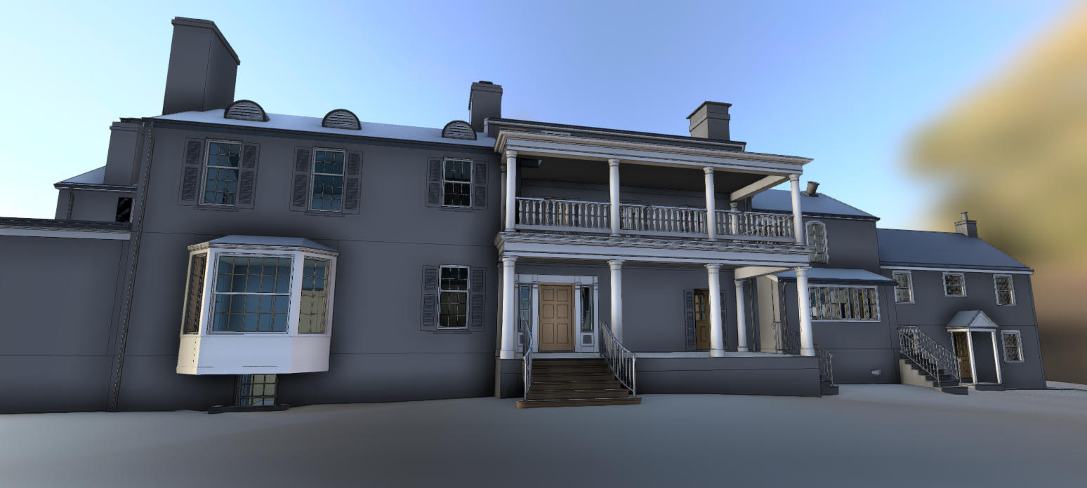
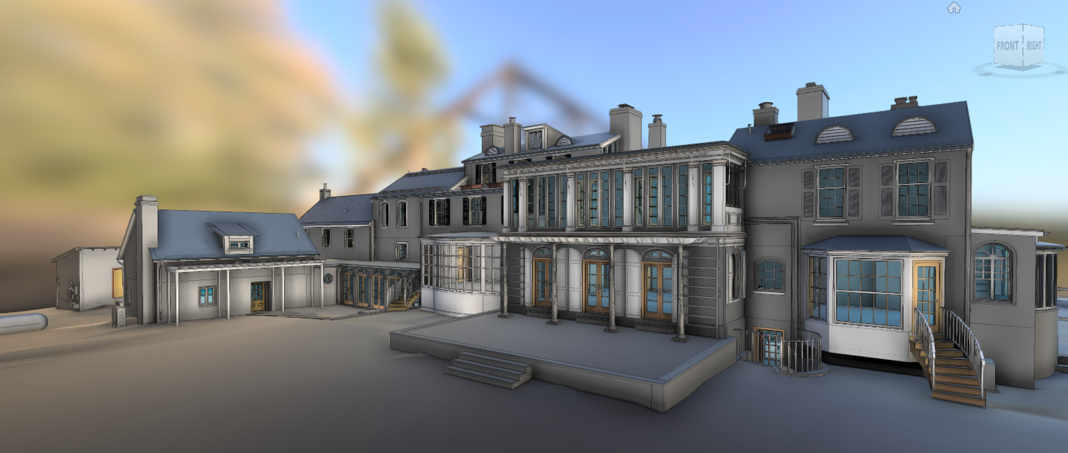
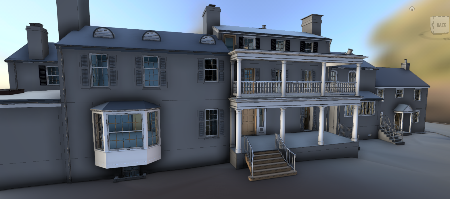
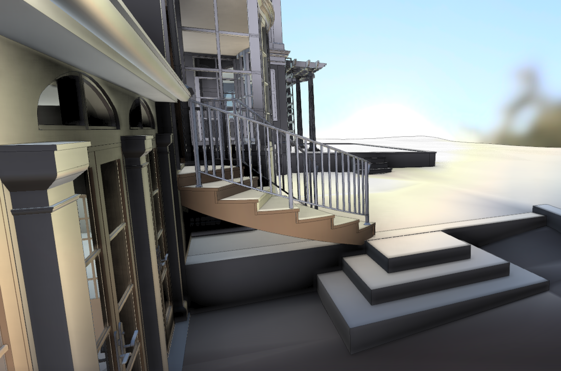
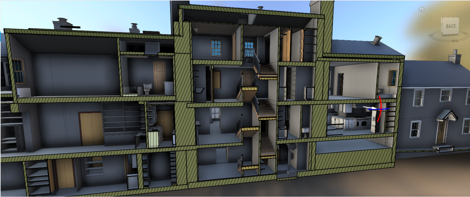
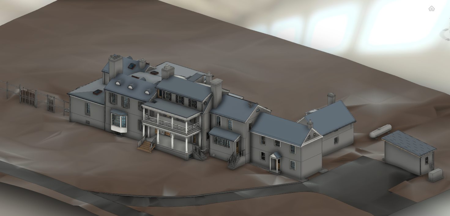
SCOPE: 3D Capture & Document Main Building, Addition, Surrounding hardscape, paths and retaining walls.

PROCESS: Schedule and coordinate survey work. Create SLAM cloud of property. Capture 360 Video and Photos. Create control measurements across property. Fly drone convert imagery to 3D LAS Data. Register data to each other. Convert all data to Recap .Utilize data to model entire building Revit and export multiple views and models for use in other platforms.

DELIVERABLE: Revit Model.

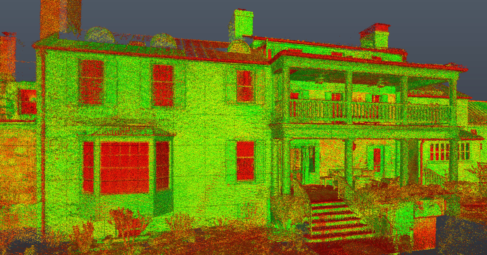
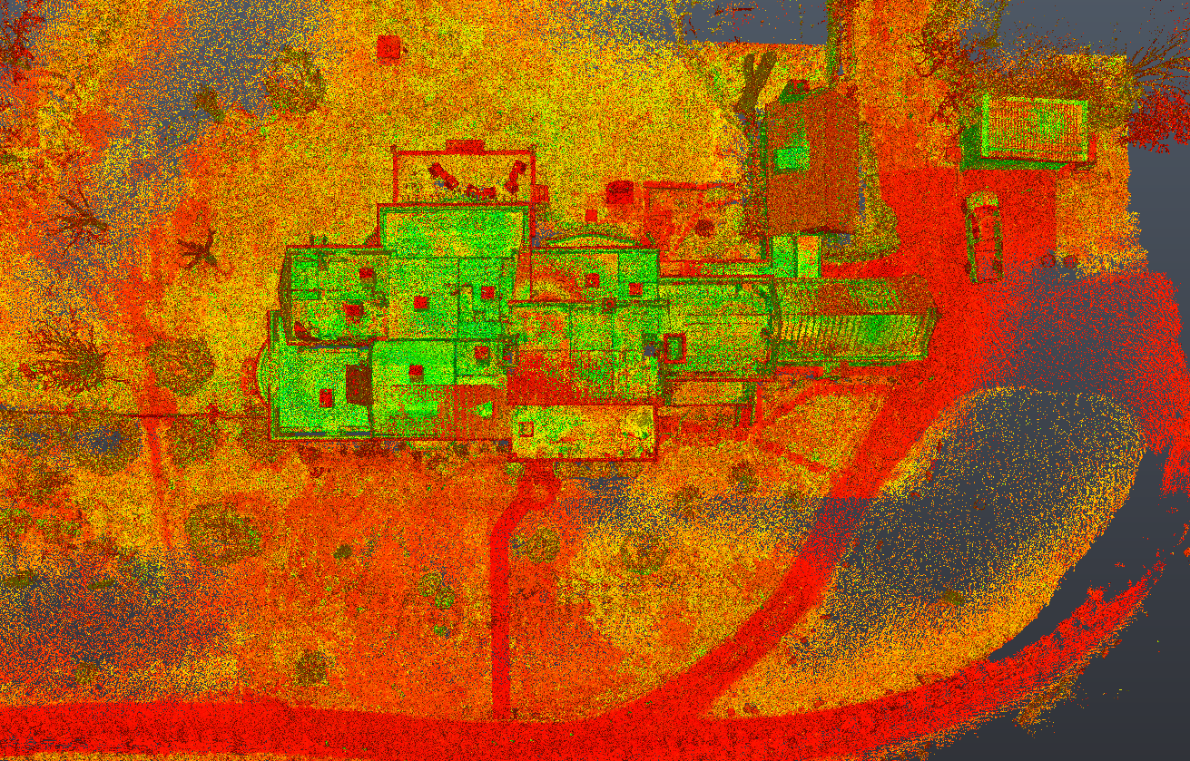
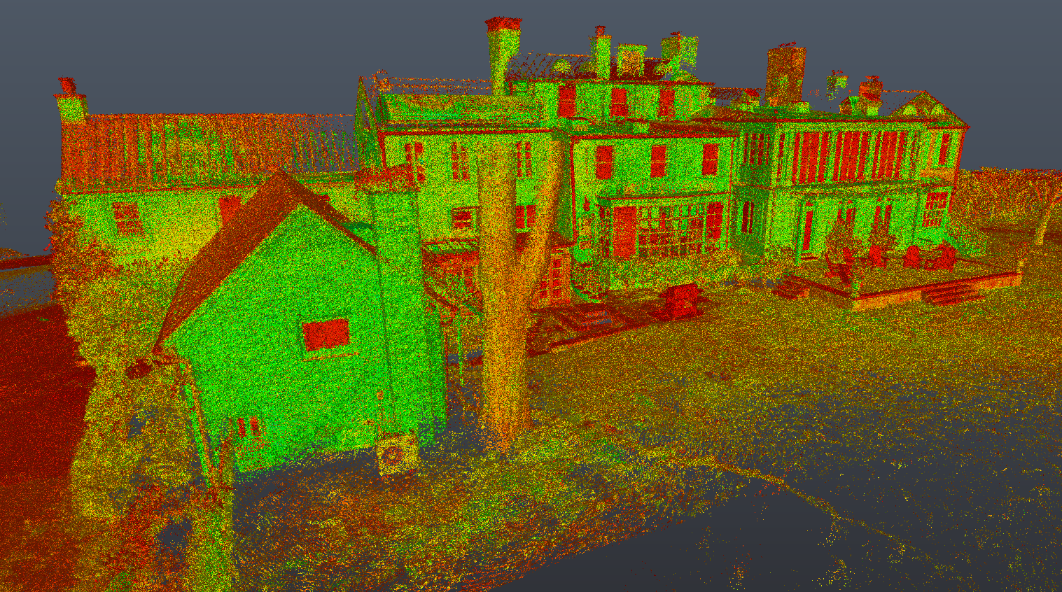
TECHNOLOGY: SLAM Laser Scanners, Tripod Mounted and Handheld Laser Range Finders. DJII Phantom Drone, ReCap, Revit, GeoSLAM, Cloud Compare. Pix4D, GoPro Max, GoProPlayer. Coffee

#3D #BIM #Revit #Virginia #Farms #LaserScanning #RealityCapture #Renovation #Design #Architecture #3D

Screenshot 2023-04-05 175535.png
Screenshot 2023-04-11 113122.png
Screenshot 2023-04-05 175608.png
Virgina Farm modeled in Revit
Screenshot 2023-03-07 105138.png
Screenshot 2023-03-06 222207.png
Screenshot 2023-03-06 222306.png
Screenshot 2023-03-06 222331.png
Screenshot 2023-03-06 222402.png
Screenshot 2023-03-06 222439.png
Screenshot 2023-03-06 222542.png
Screenshot 2023-03-07 105056.png
Screenshot 2023-03-07 105159.png
Screenshot 2023-03-07 110303.png
Screenshot 2023-04-05 175437.png
Screenshot 2023-04-05 175813.png
Screenshot 2023-04-05 175847.png
Screenshot 2023-04-05 175917.png
Screenshot 2023-04-05 180055.png
Screenshot 2023-04-11 113201.png
Screenshot 2023-04-11 113350.png

Powered by Squarespace.