
Residential | Commerical | Industrial

LOCATION: Acton, MA
SIZE: 8,500 GSF (approximate)
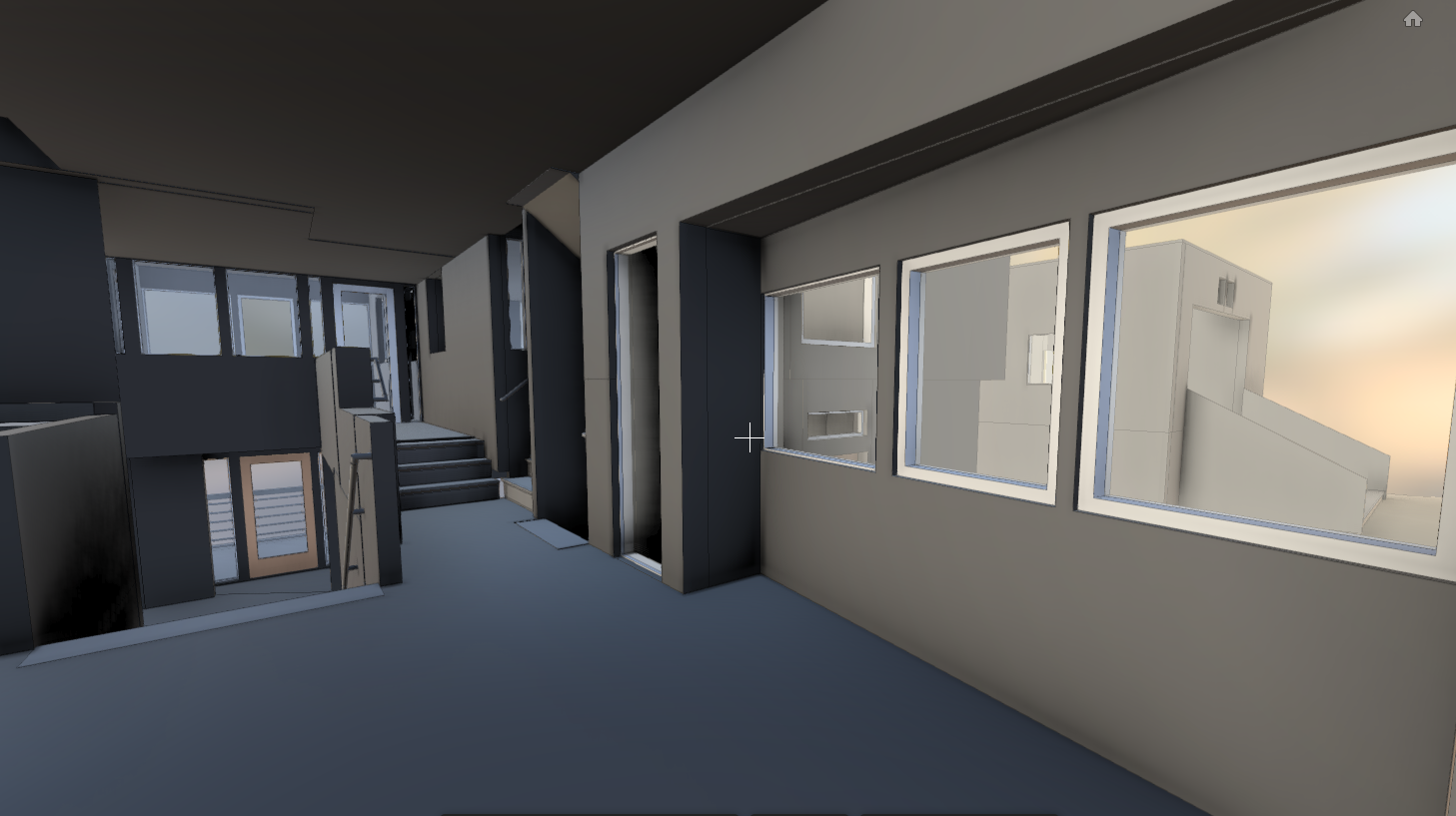
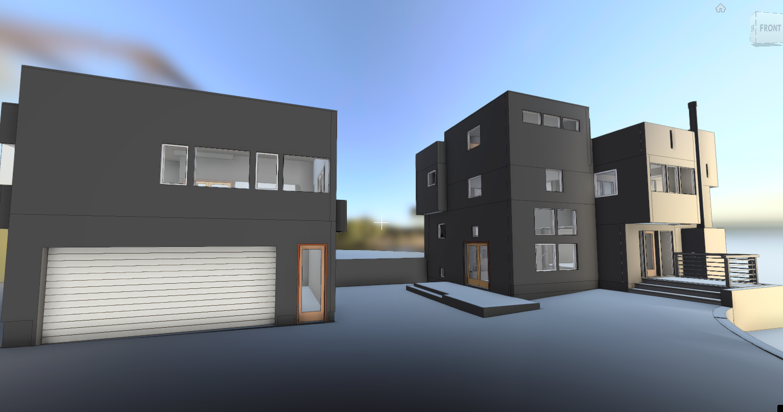
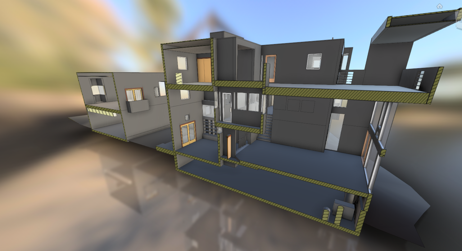
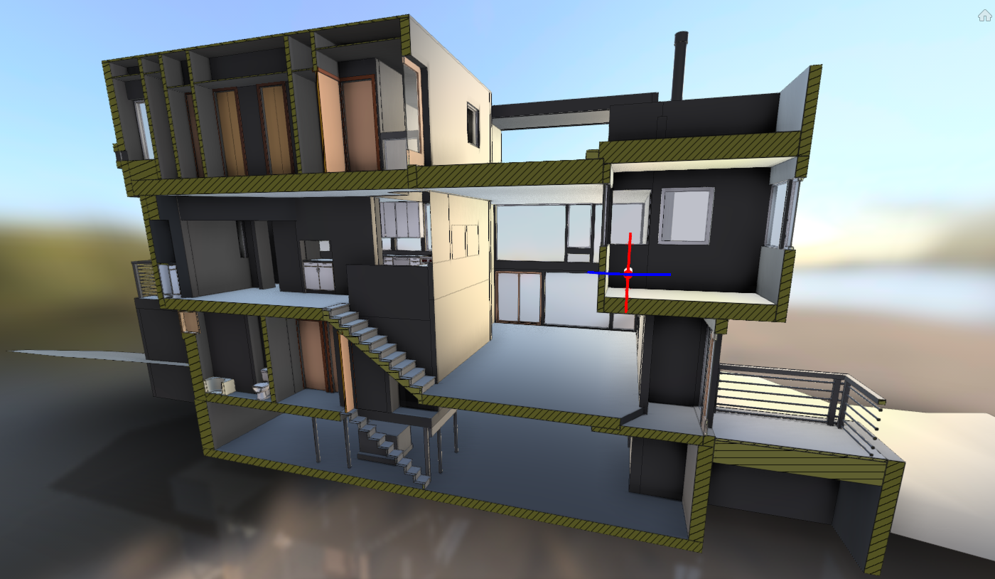
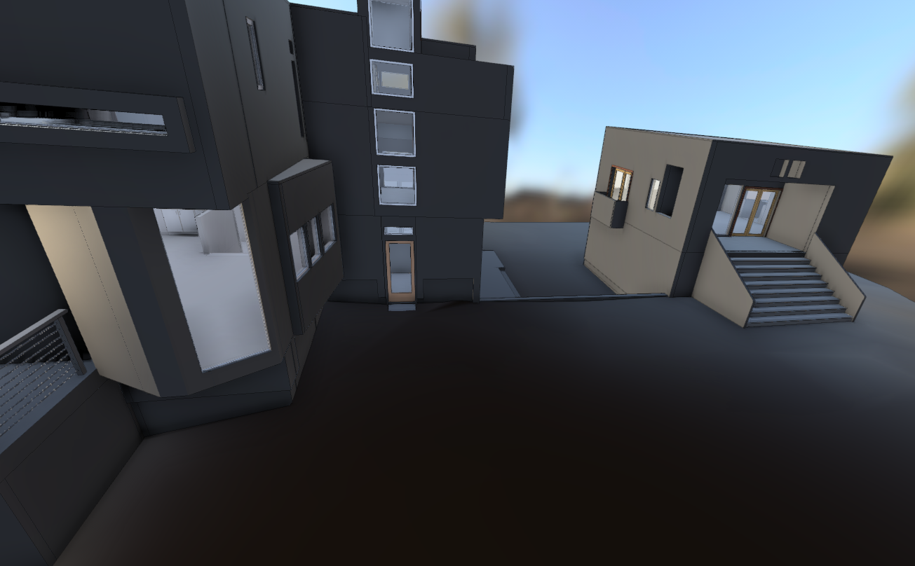
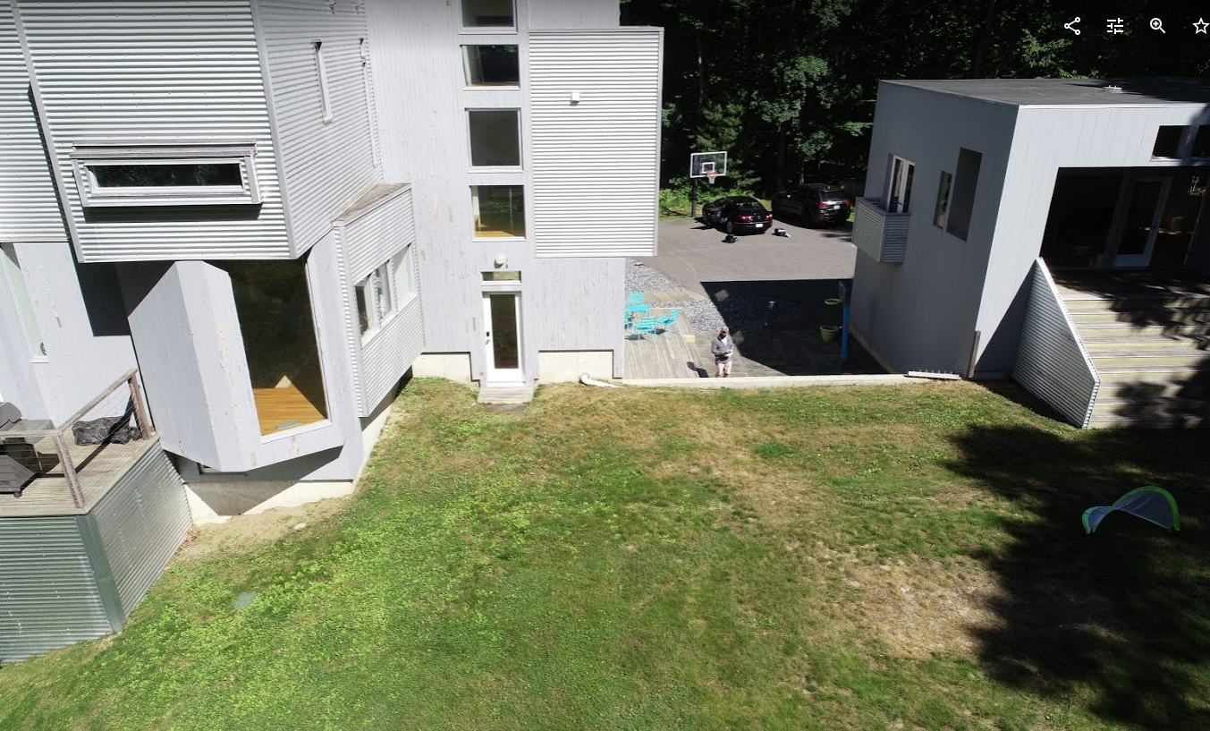
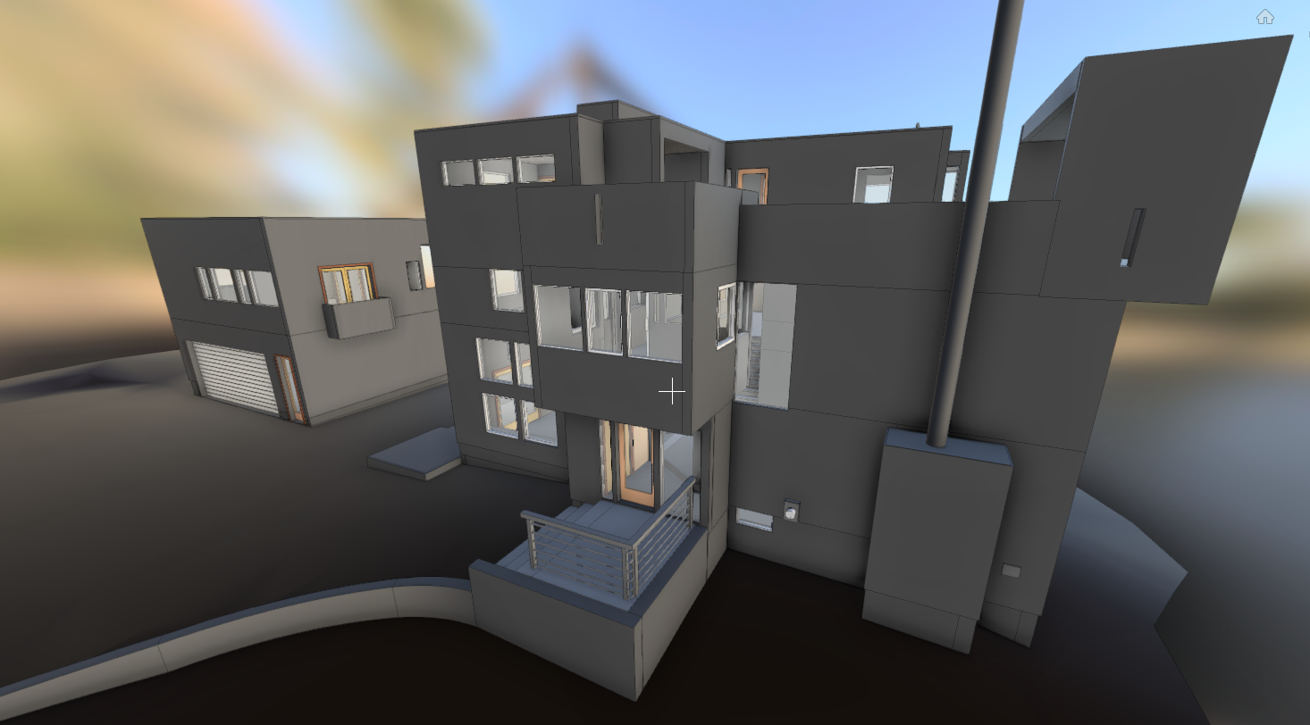
SCOPE: 3D Capture & Document Existing Building in Revit
PROCESS: Schedule and coordinate survey work during operating hours. Create multiple SLAM clouds of entire property. Register clouds to each other to create unified multi source cloud of entire building. Create control measurements across property. Integrate drone created PTS file. Convert all data to Recap.Utilize data to model entire building Revit
TECHNOLOGY: Pix4D, Phantom Drone, Context Capture, SLAM, Tripod Mounted and Handheld Laser Range Finders. ReCap, Revit, GeoSLAM, Cloud Compare, Faro XD