
Residential | Commerical | Industrial

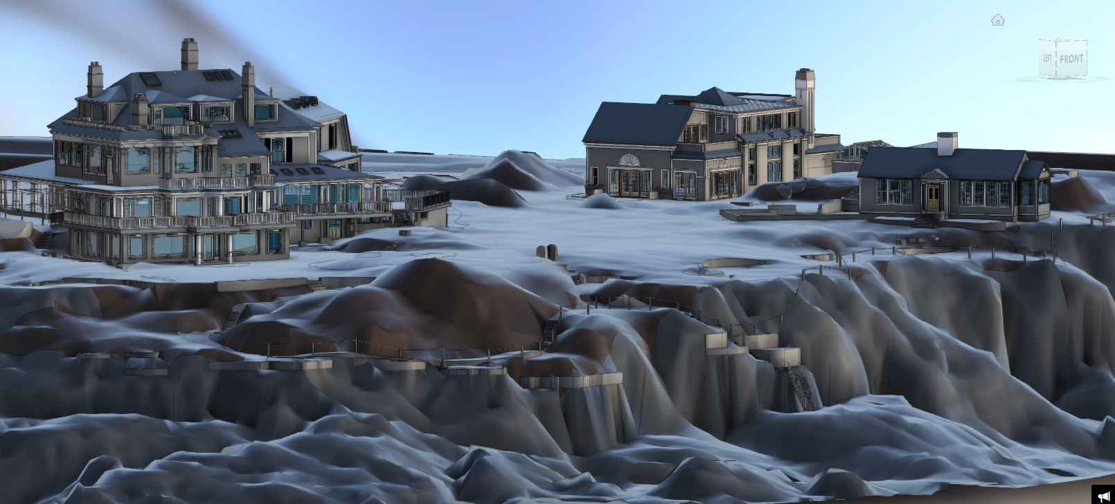
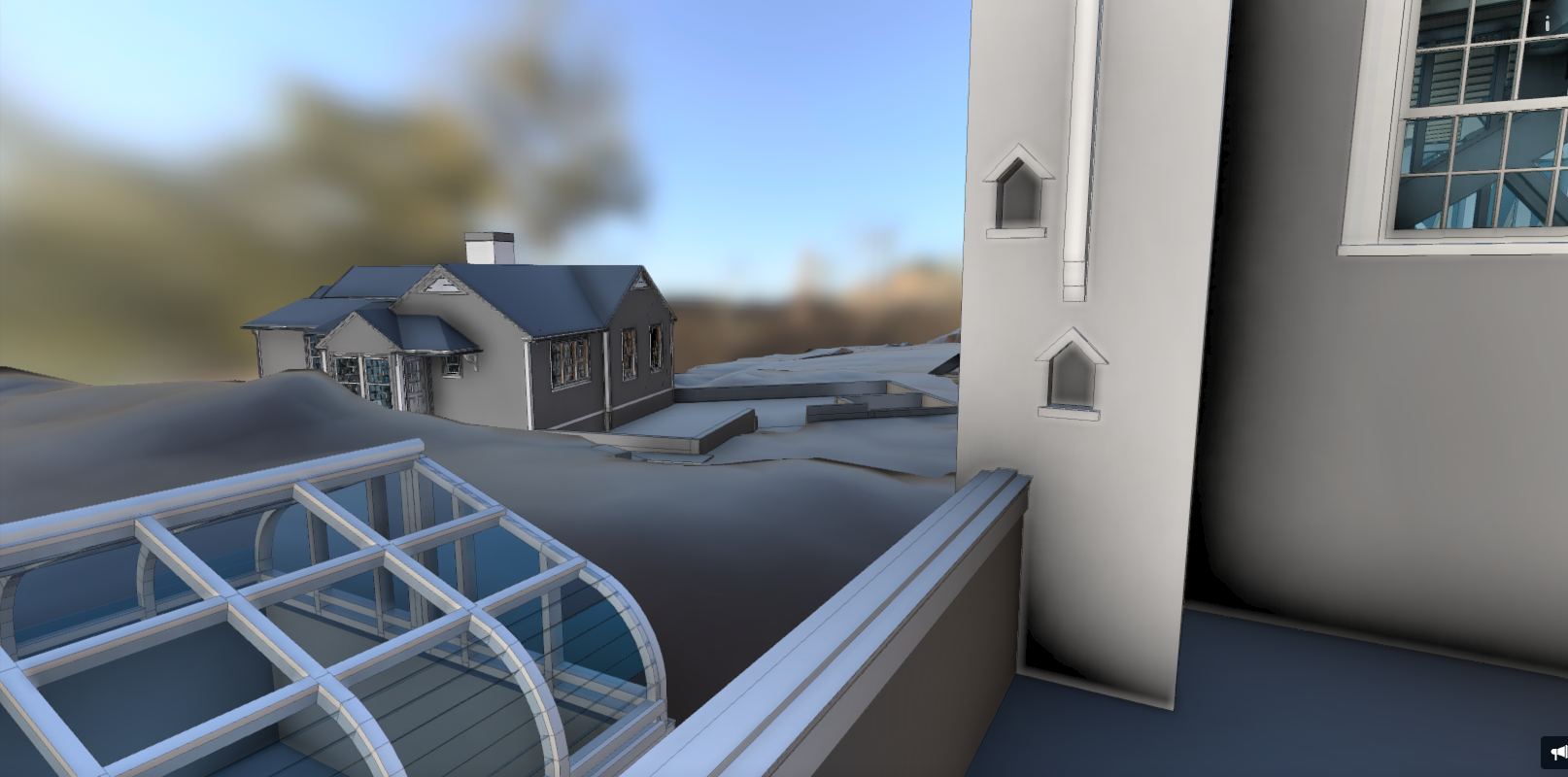
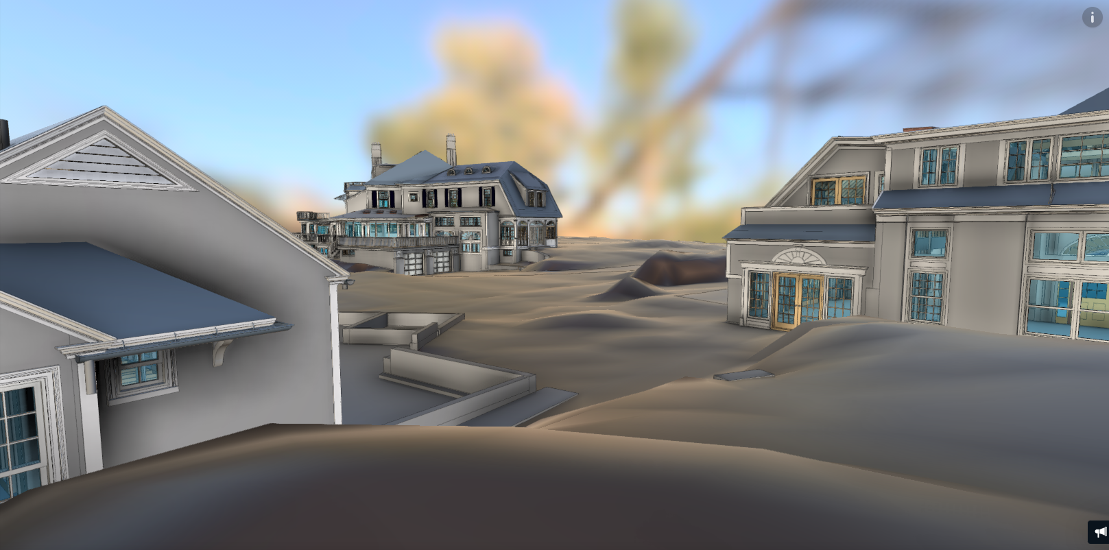
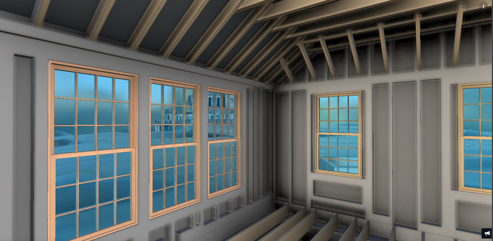
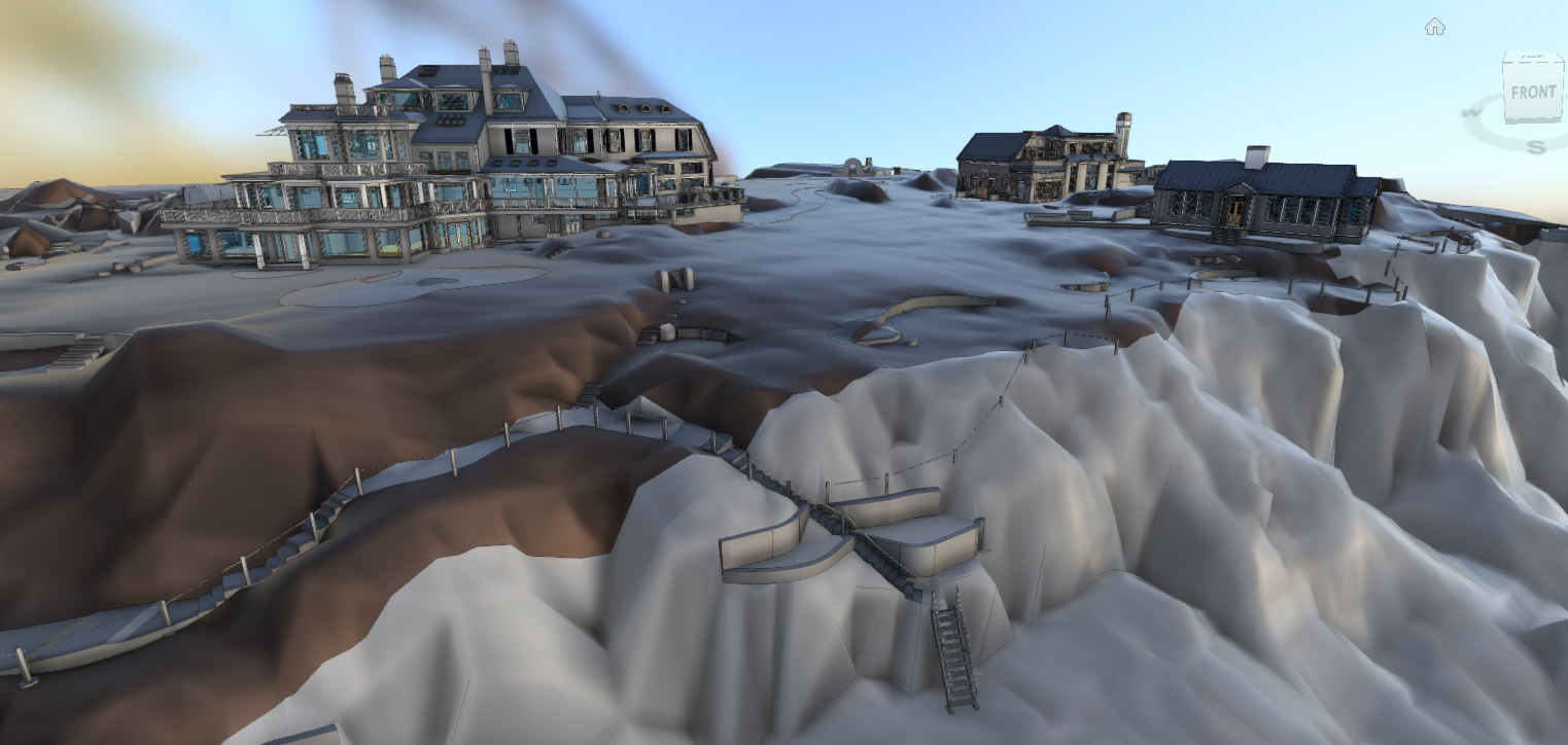
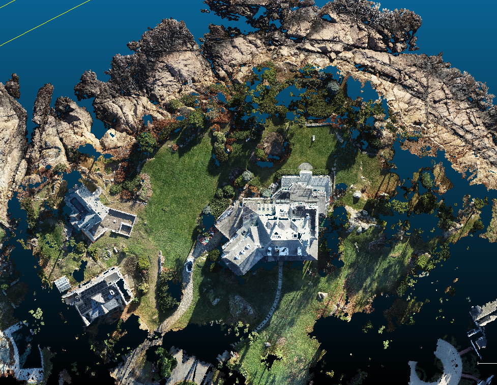

LOCATION: Residence, Manchester by the Sea, MA
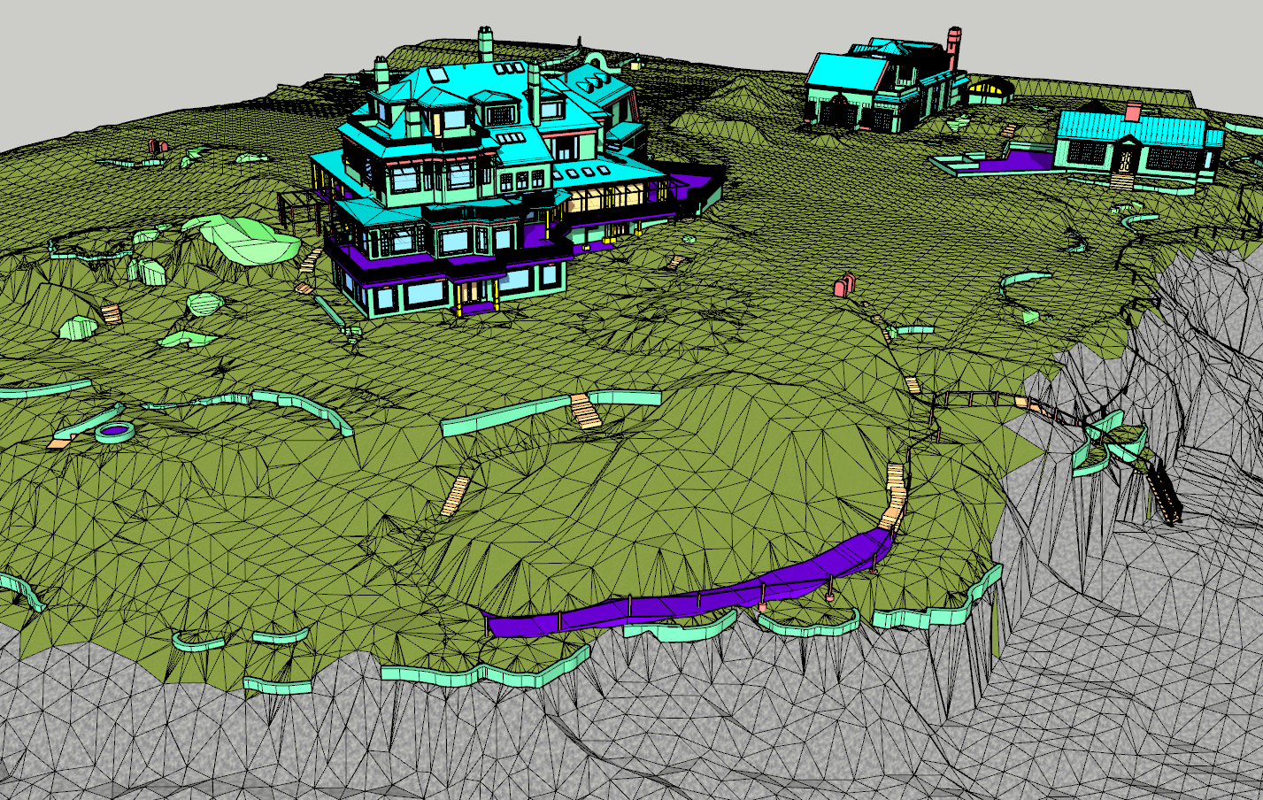
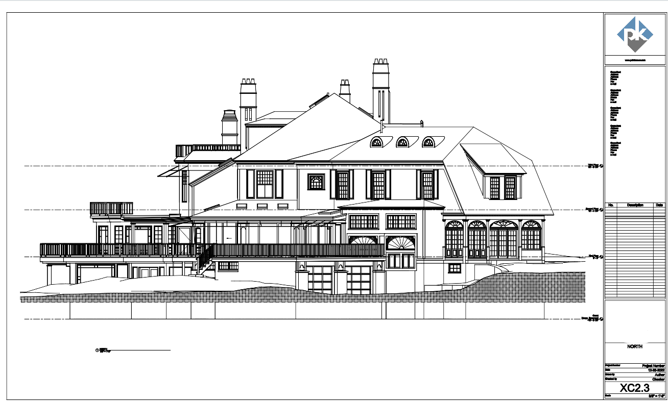
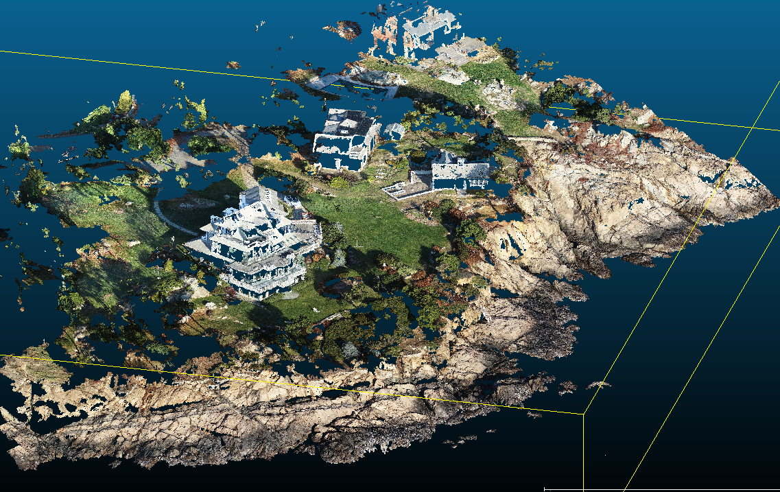
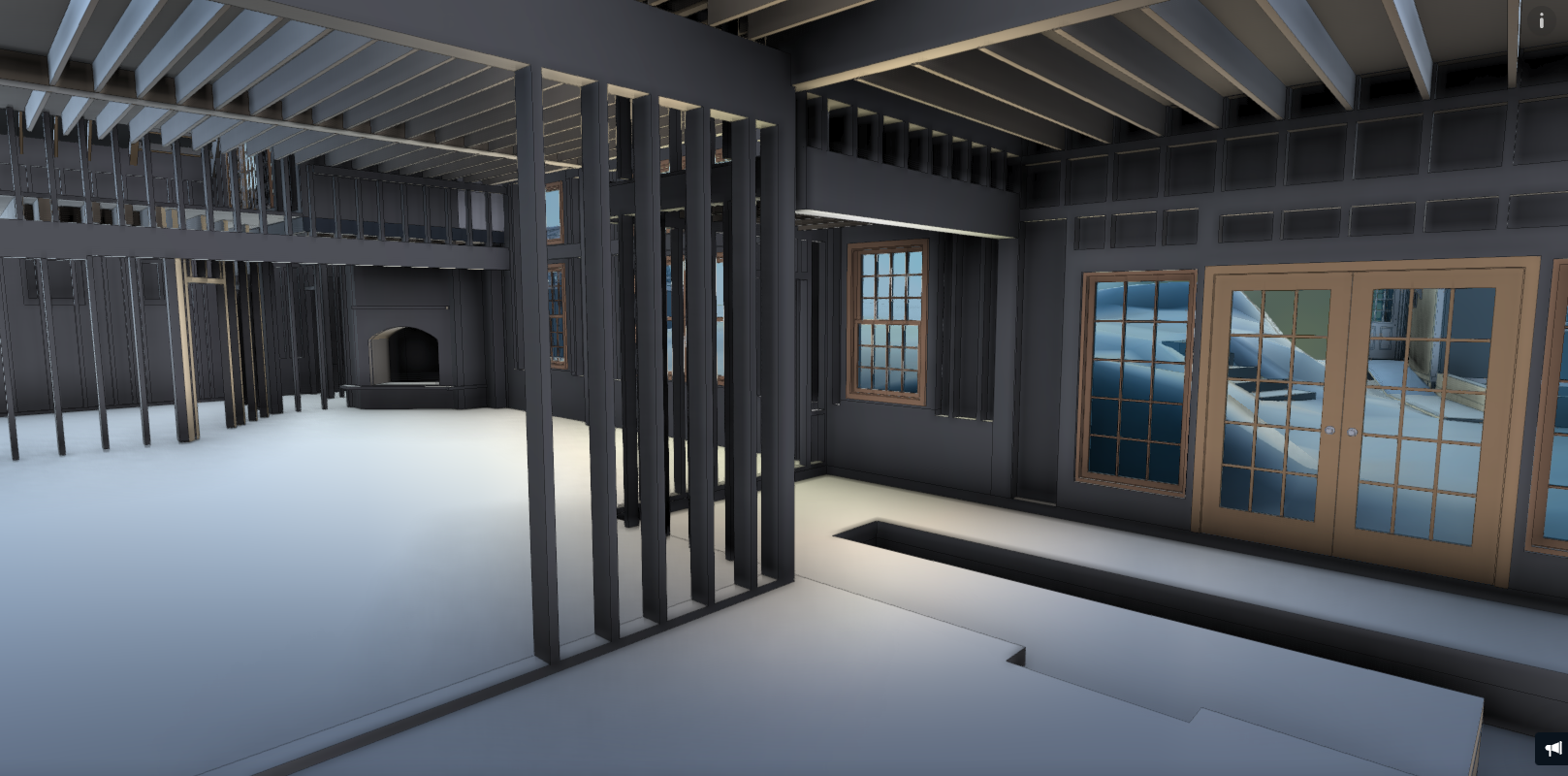
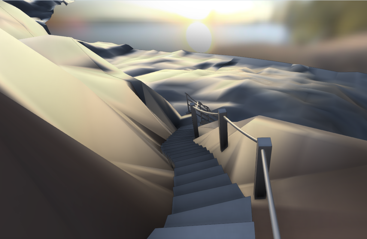
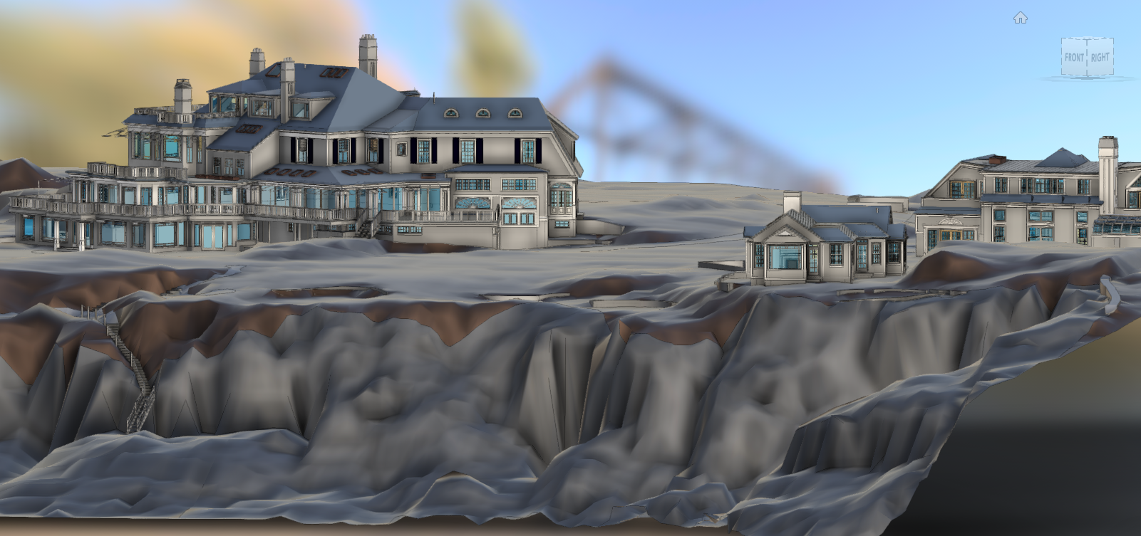
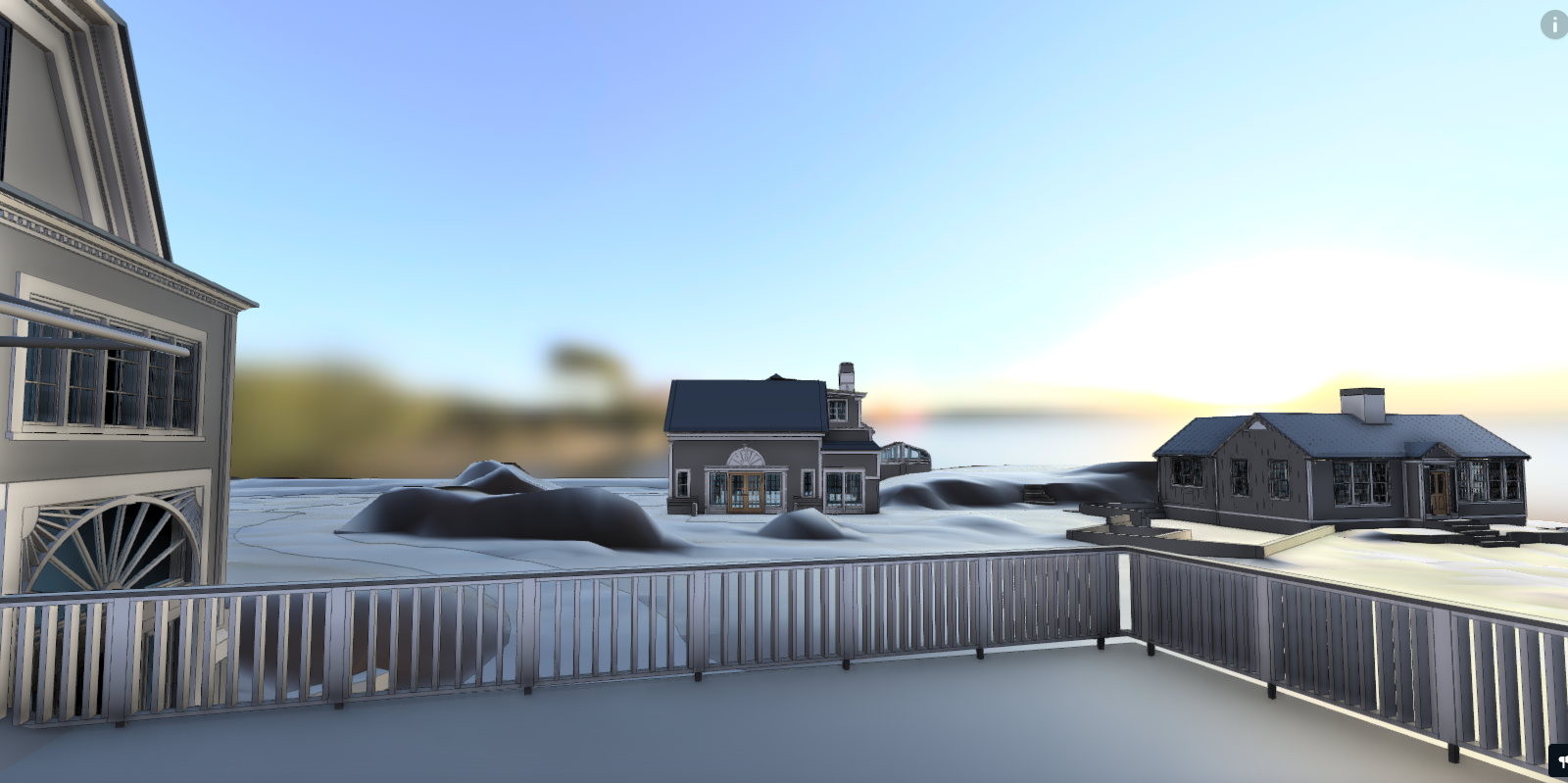
SCOPE: 3D Capture & Document Residence, Lanscape, Hardscape and Topography including Cliff Walk and Wall
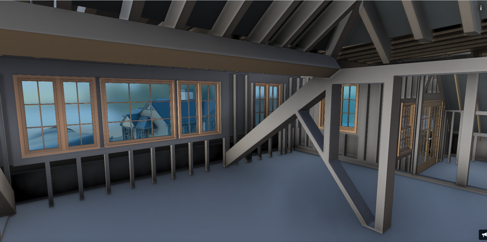
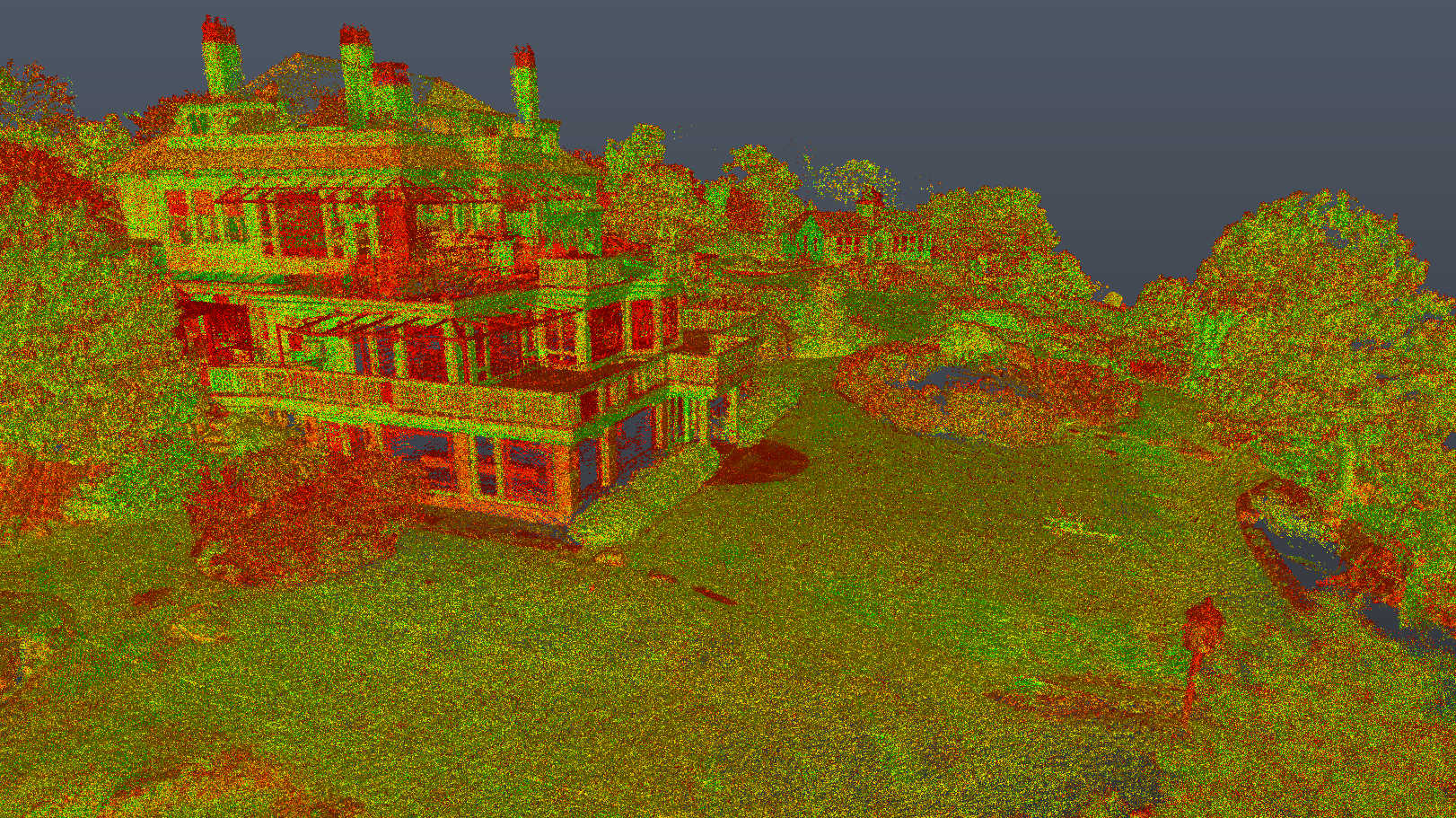
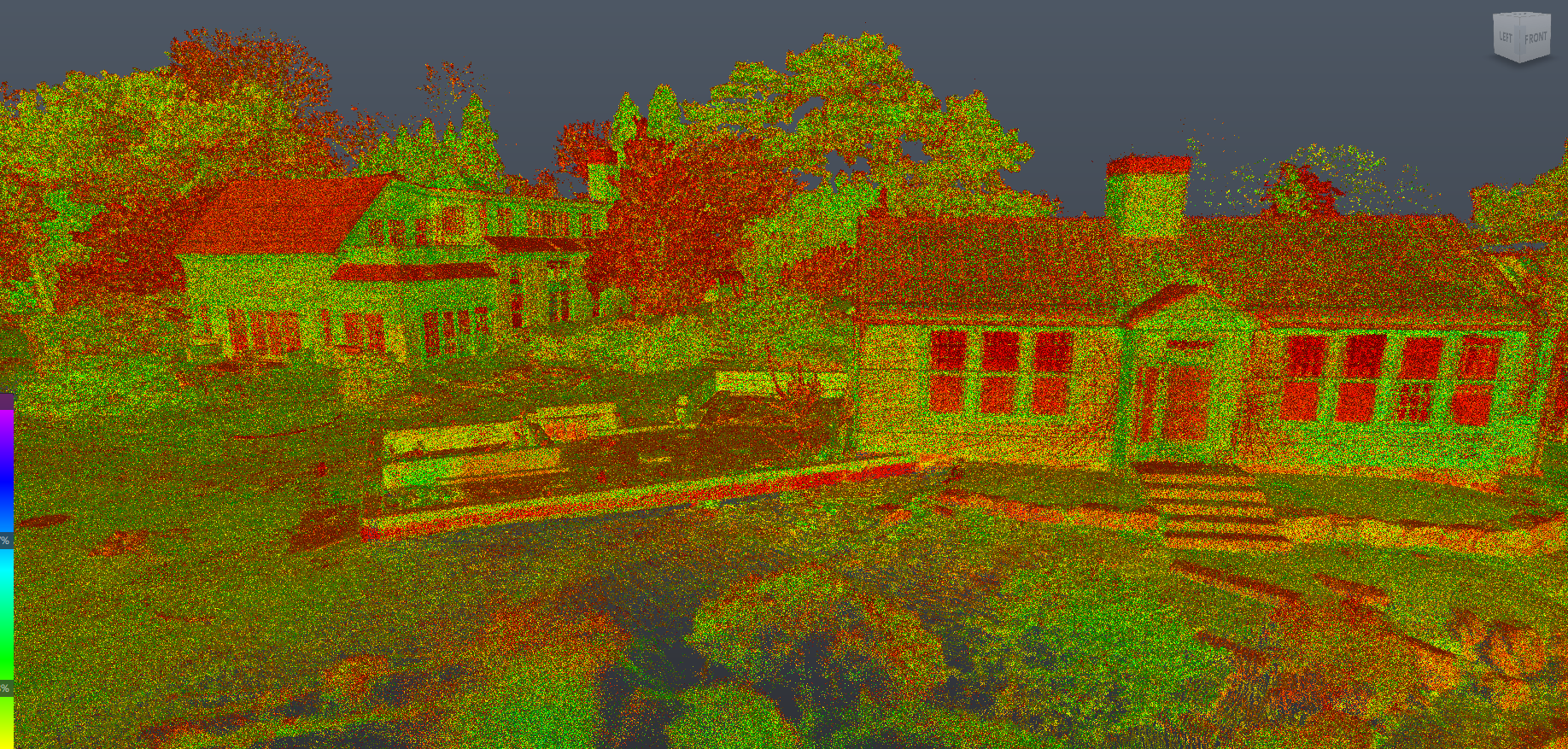
PROCESS: Schedule and coordinate survey work. Create multiple SLAM clouds of entire property. Register clouds to each other to create unified multi source cloud of entire building. Capture 360 Video and Photos. Create control measurements across property. Fly drone convert imagery to 3D LAS Data. Register data to each other. Convert all data to Recap .Utilize data to model entire building Revit and export multiple views and models for use in other platforms.
DELIVERABLE: Revit Model. 3D CAD. 2D CAD Views. Sketch Up Model
TECHNOLOGY: SLAM Laser Scanners, Tripod Mounted and Handheld Laser Range Finders. DJII Phantom Drone, ReCap, Revit, GeoSLAM, Cloud Compare. Pix4D, GoPro Max, GoProPlayer.#3D #SLAM
#LaserScanning #Manchester #RealityCapture #DigitalTwin #Waterfront #Coastal #Design #Architecture #3D