
Residential | Commerical | Industrial


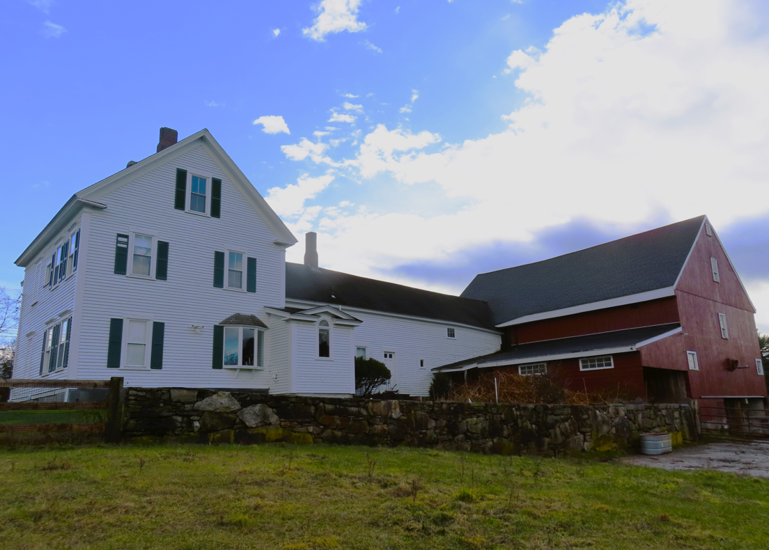
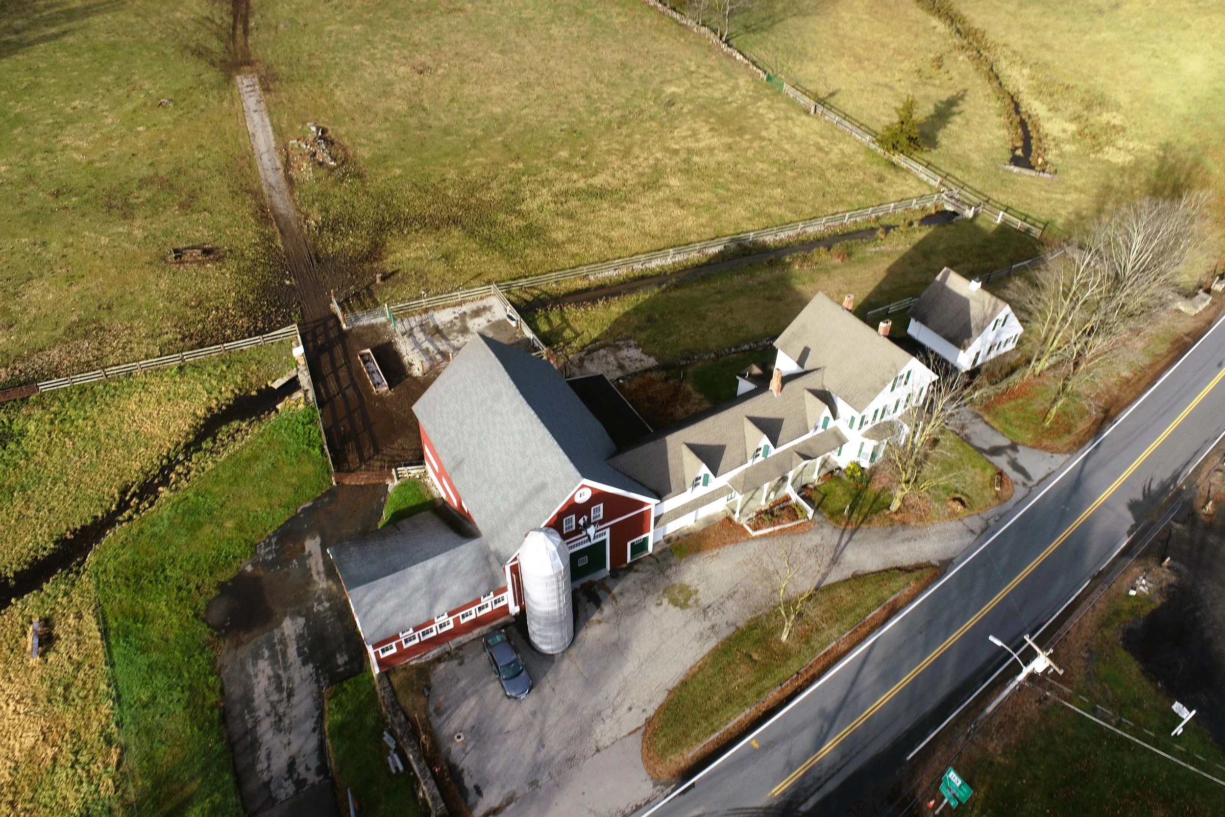
LOCATION: Dunstable, MA
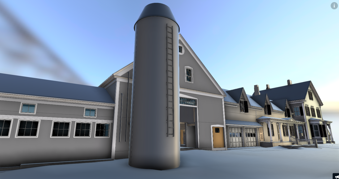
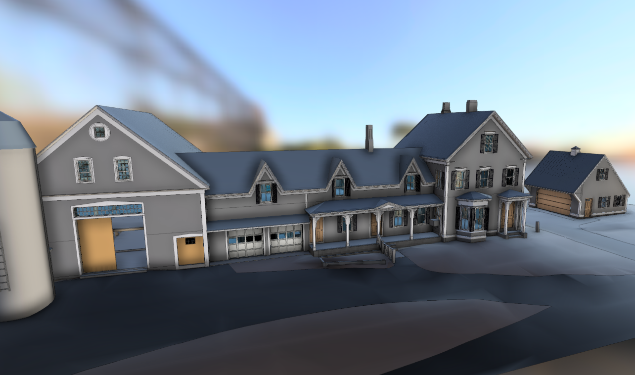
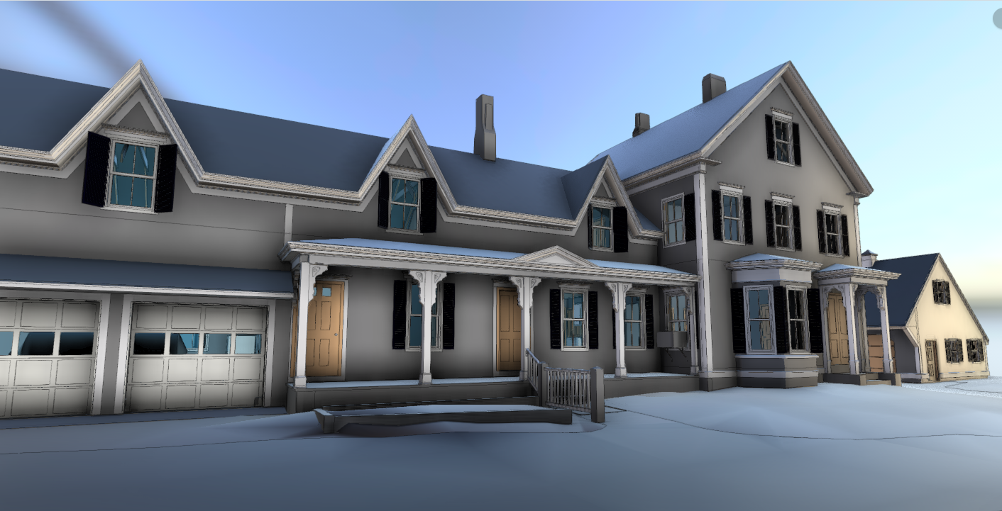
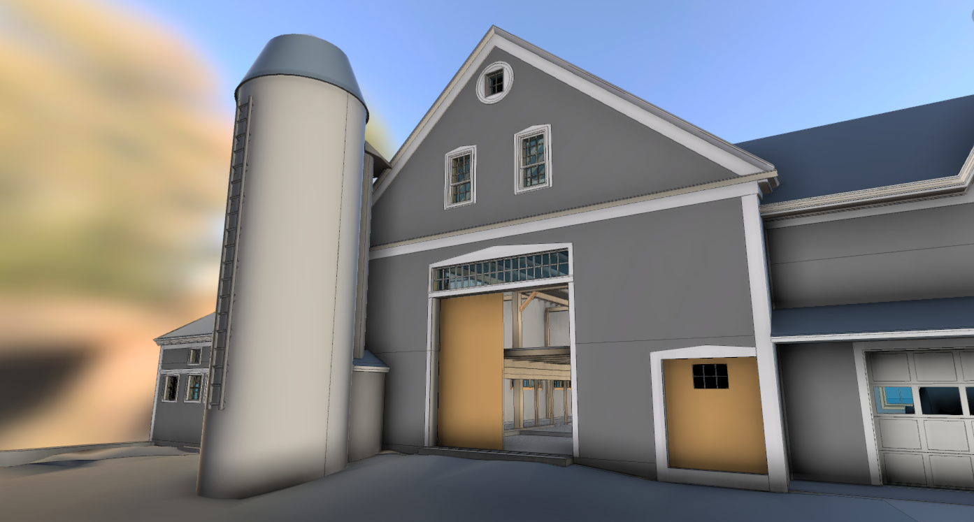
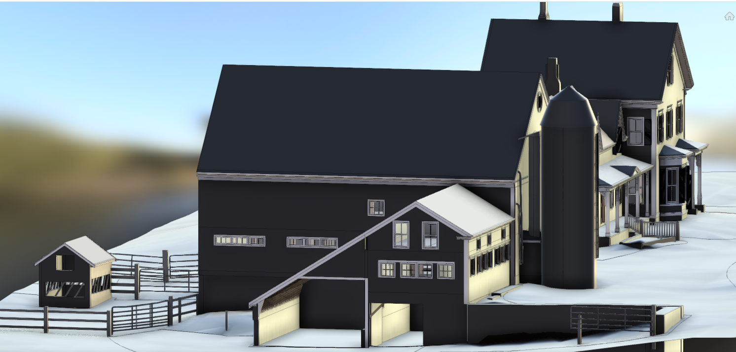
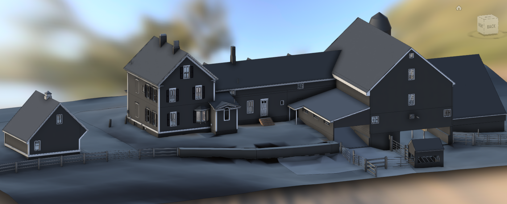
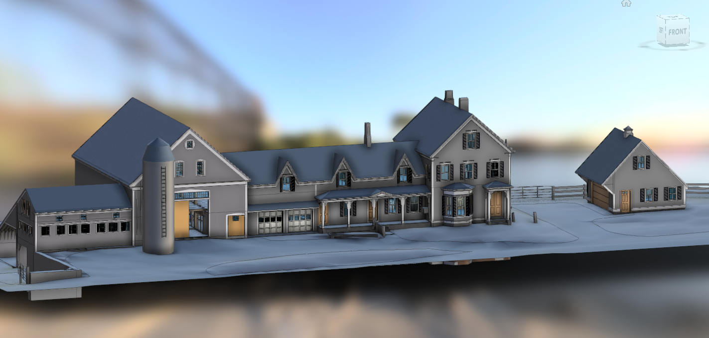
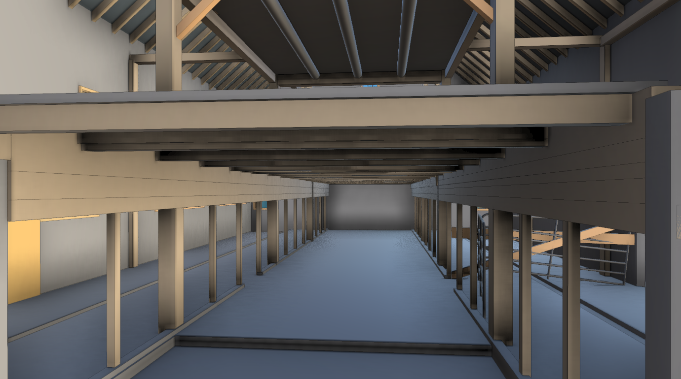
PROJECT: Dairy Farm
DELIVERABLE: Revit Model, include all buildings and terraform adjacent landscape.
PROCESS: We scanned both the interiors and exteriors of all the buildings with a mobile scanner and flew drone in a double grid to extract 3D data and create a pointcloud. Registering both the SLAM based and drone derived data we were able to get a complete data set of the property.
By modeling directly in Revit we were able to set up and export a variety of formats.
TECHNOLOGY: SLAM Laser Scanners, Tripod Mounted and Handheld Laser Range Finders. DJI Mavik Series, ReCap, Revit, GeoSLAM, Cloud Compare. Pix4D, GoPro Max, GoProPlayer. Dunkin and Good Boots
#3D #BIM #Revit #Architecture #LaserScanning #RealityCapture #Renovation #Design #3D #Farm #Barn #Floorplans #Elevations